UN/LOCODE hub · United States
USNLX
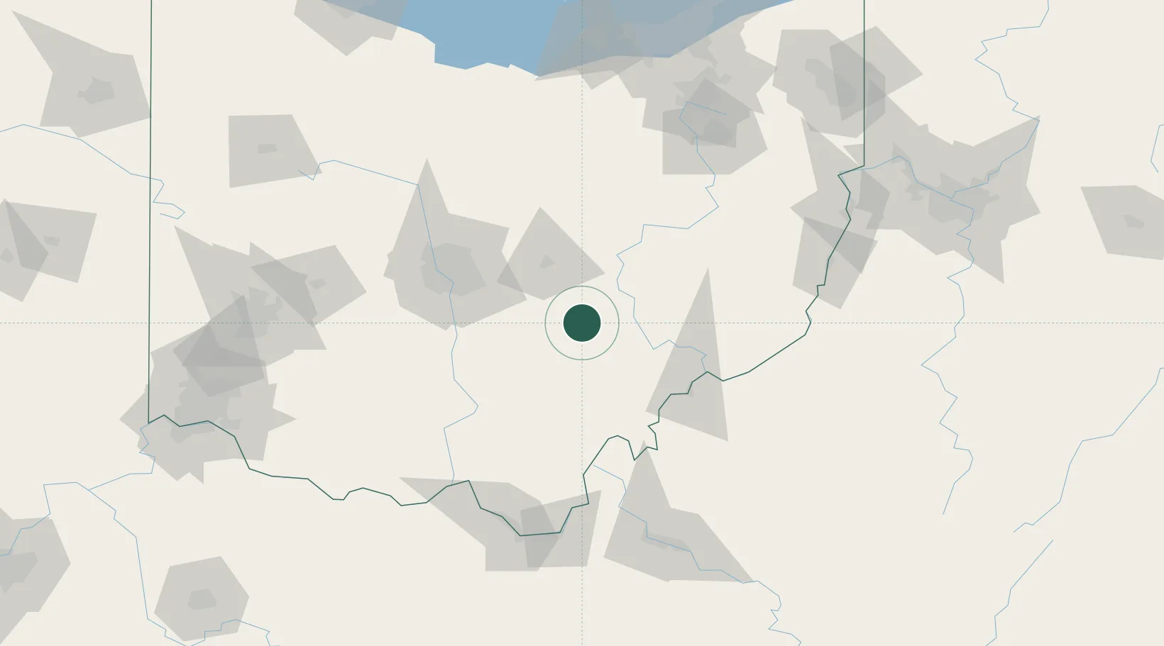
New Lexington
39.7000°, -82.2167°
4,727
Population
3
Transport functions
Transport Functions
Rail
Road
Multimodal
Hub Profile
Place type
Provincial seat
Region
Ohio
Population
4,727
Time zone
America/New_York
Elevation
288 m
Location
Nearby Logistics Neighbours
Cities
- 1Junction City, Perry7 km
- 2Crooksville14 km
- 3McConnelsville32 km
- 4Malta32 km
- 5Duncan Falls33 km
Airports
Trade Zones
- 1FTZ No. 138 Franklin County63 km
- 2FTZ No. 054 Clinton County138 km
- 3FTZ No. 181 Akron Canton146 km
- 4FTZ No. 229 Charleston157 km
- 5FTZ No. 100 Dayton177 km
DatabookThe Record of Consolidated Knowledge
United States beyond logistics?