Transport Functions
Rail
Road
Multimodal
Hub Profile
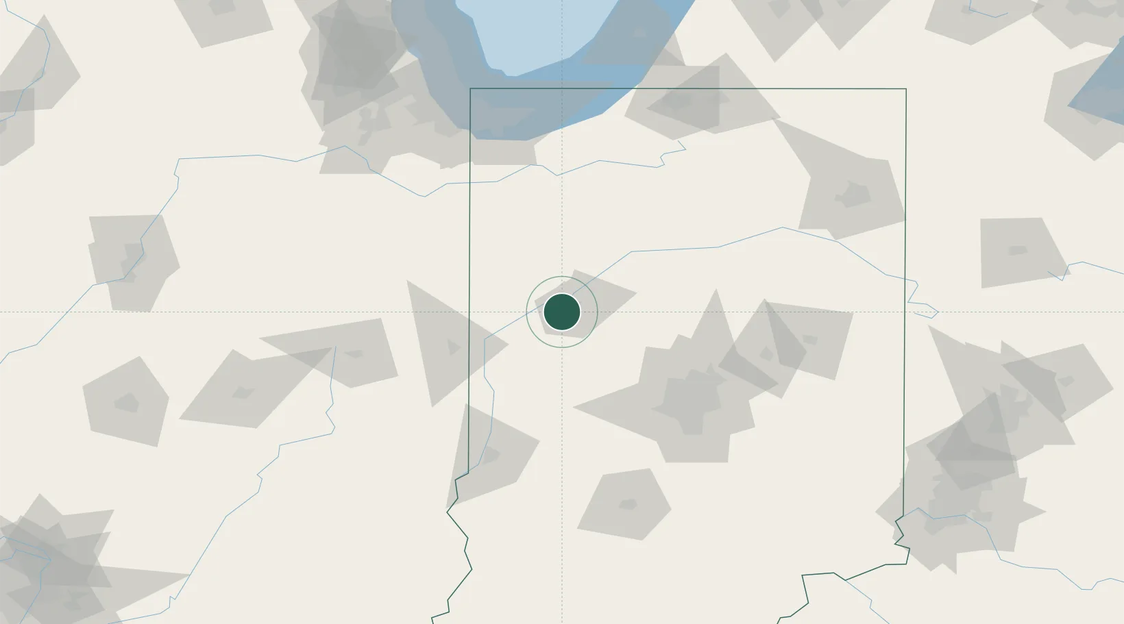
Region
IN
Location
Nearby Logistics Neighbours
Cities
- 1West Lafayette7 km
- 2Montmorenci13 km
- 3Battle Ground18 km
- 4Monroe, Tippecanoe21 km
- 5Clarks Hill24 km
Ports
- 1Gary143 km
- 2Indiana Harbor150 km
- 3Michigan City152 km
- 4Calumet Harbor159 km
- 5Chicago177 km
Airports
Trade Zones
- 1FTZ No. 072 Indianapolis90 km
- 2FTZ No. 152 Burns Harbor141 km
- 3FTZ No. 125 South Bend154 km
- 4FTZ No. 182 Fort Wayne161 km
- 5FTZ No. 022 Chicago181 km
DatabookThe Record of Consolidated Knowledge
United States beyond logistics?