UN/LOCODE hub · United States
USWLY
West Lafayette
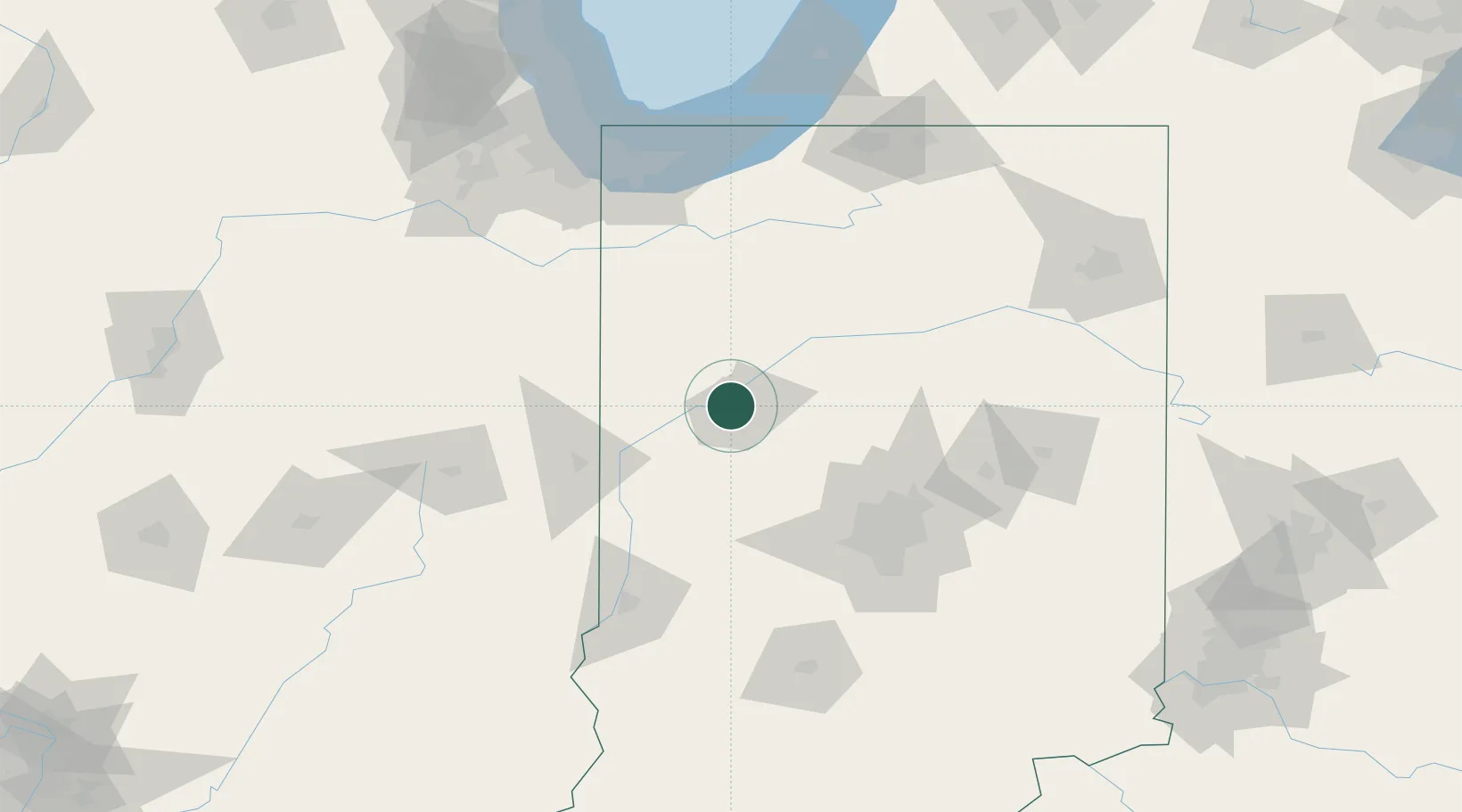
40.4167°, -86.9000°
45,550
Population
2
Transport functions
Transport Functions
Rail
Road
Hub Profile
Place type
Populated place
Region
Indiana
Population
45,550
Time zone
America/Indiana/Indianapolis
Elevation
186 m
Location
Nearby Logistics Neighbours
Cities
- 1Shadeland, Tippecanoe7 km
- 2Battle Ground11 km
- 3Montmorenci11 km
- 4Monroe, Tippecanoe21 km
- 5Brookston21 km
Ports
- 1Gary138 km
- 2Indiana Harbor146 km
- 3Michigan City146 km
- 4Calumet Harbor155 km
- 5Chicago173 km
Airports
Trade Zones
- 1FTZ No. 072 Indianapolis92 km
- 2FTZ No. 152 Burns Harbor136 km
- 3FTZ No. 125 South Bend147 km
- 4FTZ No. 182 Fort Wayne154 km
- 5FTZ No. 022 Chicago177 km
DatabookThe Record of Consolidated Knowledge
United States beyond logistics?