Transport Functions
Rail
Road
Hub Profile
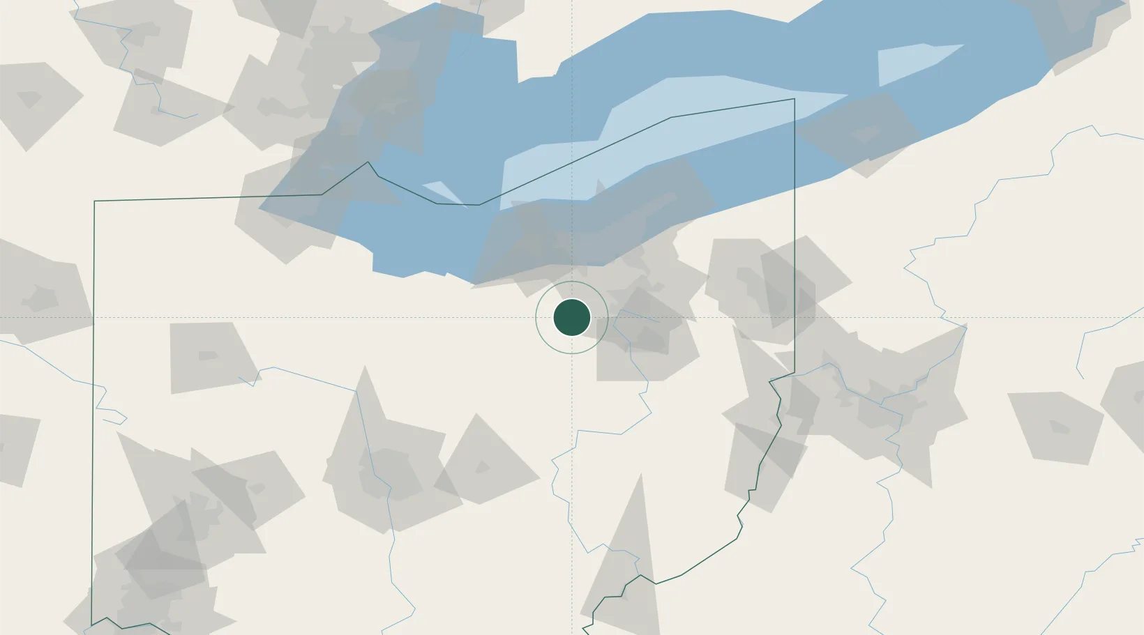
Place type
Populated place
Region
Ohio
Population
2,181
Time zone
America/New_York
Elevation
302 m
Location
Nearby Logistics Neighbours
Cities
- 1Lodi10 km
- 2Smithville, Wayne13 km
- 3Wadsworth15 km
- 4Sharon Center18 km
- 5Clinton24 km
Airports
Trade Zones
- 1FTZ No. 181 Akron Canton12 km
- 2FTZ No. 040 Cleveland57 km
- 3FTZ No. 151 Findlay153 km
- 4FTZ No. 008 Toledo157 km
- 5FTZ No. 138 Franklin County157 km
DatabookThe Record of Consolidated Knowledge
United States beyond logistics?