UN/LOCODE hub · United States
USWDH
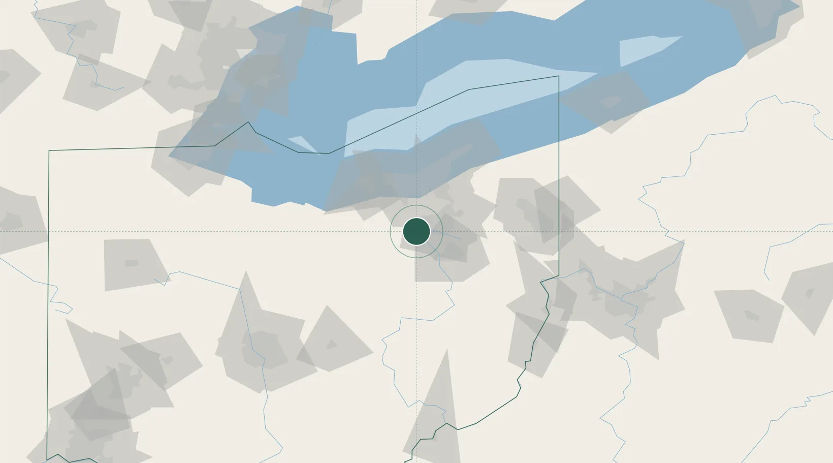
Wadsworth
41.0167°, -81.7167°
21,860
Population
2
Transport functions
Transport Functions
Road
Multimodal
Hub Profile
Place type
Populated place
Region
Ohio
Population
21,860
Time zone
America/New_York
Elevation
356 m
Location
Nearby Logistics Neighbours
Cities
- 1Sharon Center9 km
- 2Clinton14 km
- 3Creston15 km
- 4Fairlawn15 km
- 5Smithville, Wayne21 km
Airports
Trade Zones
- 1FTZ No. 181 Akron Canton7 km
- 2FTZ No. 040 Cleveland55 km
- 3FTZ No. 033 Pittsburgh155 km
- 4FTZ No. 151 Findlay167 km
- 5FTZ No. 008 Toledo167 km
DatabookThe Record of Consolidated Knowledge
United States beyond logistics?