Transport Functions
Multimodal
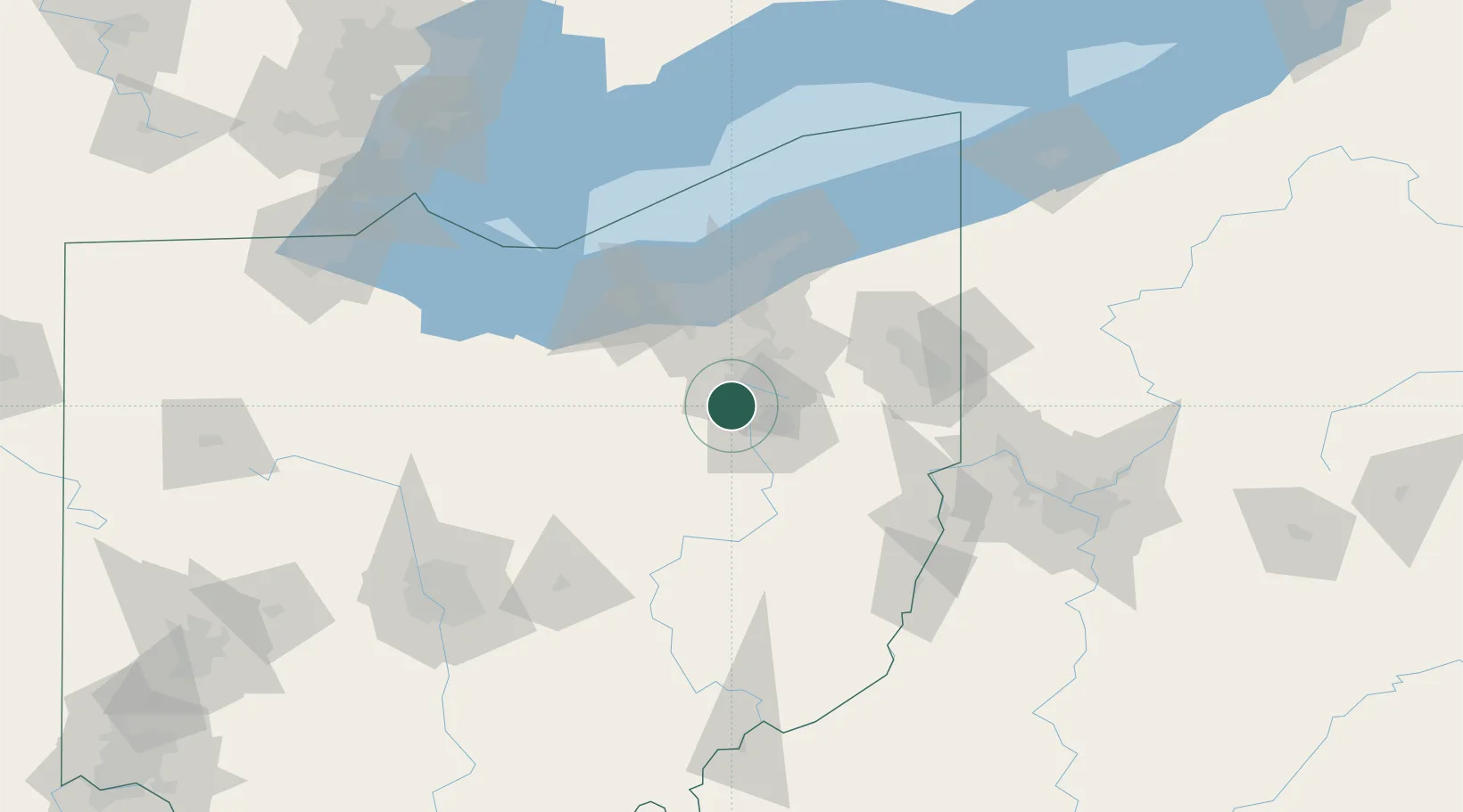
Hub Profile
Place type
Populated place
Region
Ohio
Population
1,214
Time zone
America/New_York
Elevation
288 m
Location
Nearby Logistics Neighbours
Cities
- 1Wadsworth14 km
- 2Dalton16 km
- 3Smithville, Wayne22 km
- 4Fairlawn22 km
- 5Sharon Center23 km
Airports
Trade Zones
- 1FTZ No. 181 Akron Canton11 km
- 2FTZ No. 040 Cleveland67 km
- 3FTZ No. 033 Pittsburgh143 km
- 4FTZ No. 138 Franklin County166 km
- 5FTZ No. 151 Findlay176 km
DatabookThe Record of Consolidated Knowledge
United States beyond logistics?