Transport Functions
Rail
Road
Hub Profile
Place type
Populated place
Region
Ohio
Population
2,768
Time zone
America/New_York
Elevation
283 m
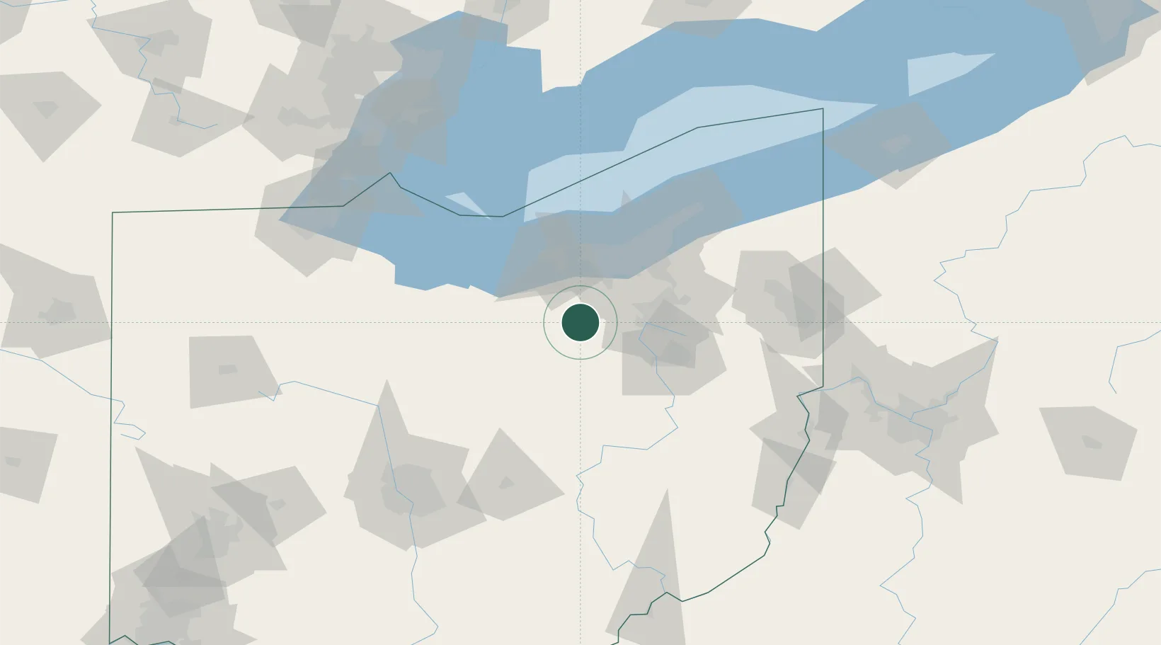
Location
Nearby Logistics Neighbours
Cities
- 1Creston10 km
- 2Smithville, Wayne21 km
- 3Sharon Center22 km
- 4Wadsworth22 km
- 5Oberlin32 km
Airports
Trade Zones
- 1FTZ No. 181 Akron Canton22 km
- 2FTZ No. 040 Cleveland53 km
- 3FTZ No. 151 Findlay144 km
- 4FTZ No. 008 Toledo146 km
- 5FTZ No. 138 Franklin County158 km
DatabookThe Record of Consolidated Knowledge
United States beyond logistics?