Transport Functions
Road
Multimodal
Hub Profile
Place type
Populated place
Region
New York
Time zone
America/New_York
Elevation
418 m
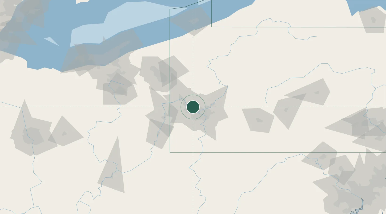
Location
Nearby Logistics Neighbours
Cities
- 1Emsworth6 km
- 2Sewickley7 km
- 3Crescent Township11 km
- 4Wildwood12 km
- 5McKees Rocks12 km
Airports
Trade Zones
- 1FTZ No. 033 Pittsburgh14 km
- 2FTZ No. 295 Central Pennsylvania131 km
- 3FTZ No. 181 Akron Canton146 km
- 4FTZ No. 254 Jefferson County150 km
- 5FTZ No. 247 Erie174 km
DatabookThe Record of Consolidated Knowledge
United States beyond logistics?