UN/LOCODE hub · United States
USEWC
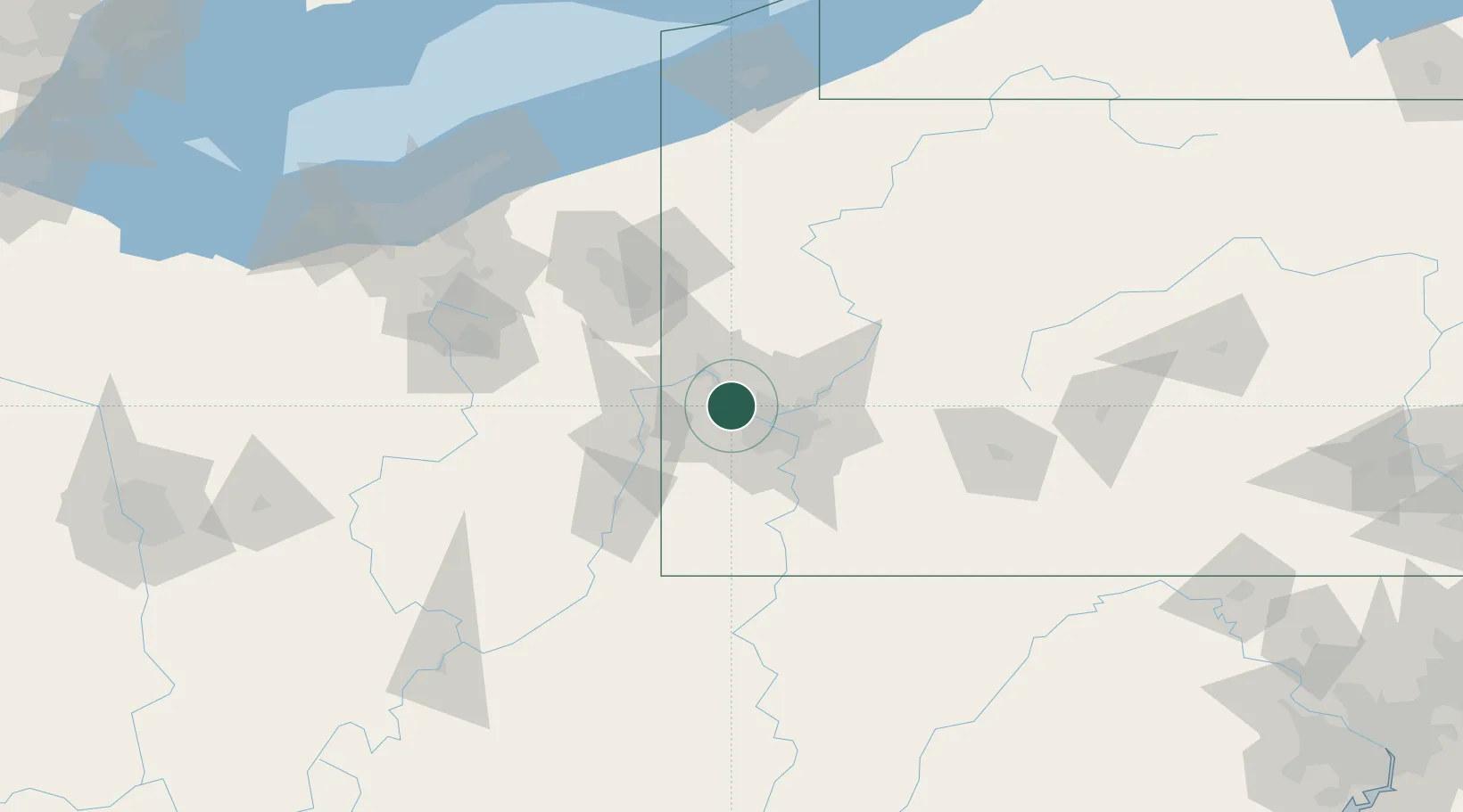
Sewickley
40.5333°, -80.1833°
3,829
Population
2
Transport functions
Transport Functions
Rail
Road
Hub Profile
Place type
Populated place
Region
Pennsylvania
Population
3,829
Time zone
America/New_York
Elevation
226 m
Location
Nearby Logistics Neighbours
Cities
- 1Crescent Township5 km
- 2Ohio7 km
- 3Emsworth9 km
- 4Baden12 km
- 5McKees Rocks15 km
Airports
Trade Zones
- 1FTZ No. 033 Pittsburgh16 km
- 2FTZ No. 295 Central Pennsylvania139 km
- 3FTZ No. 181 Akron Canton139 km
- 4FTZ No. 254 Jefferson County157 km
- 5FTZ No. 040 Cleveland176 km
DatabookThe Record of Consolidated Knowledge
United States beyond logistics?