Transport Functions
Multimodal
Hub Profile
Region
PA
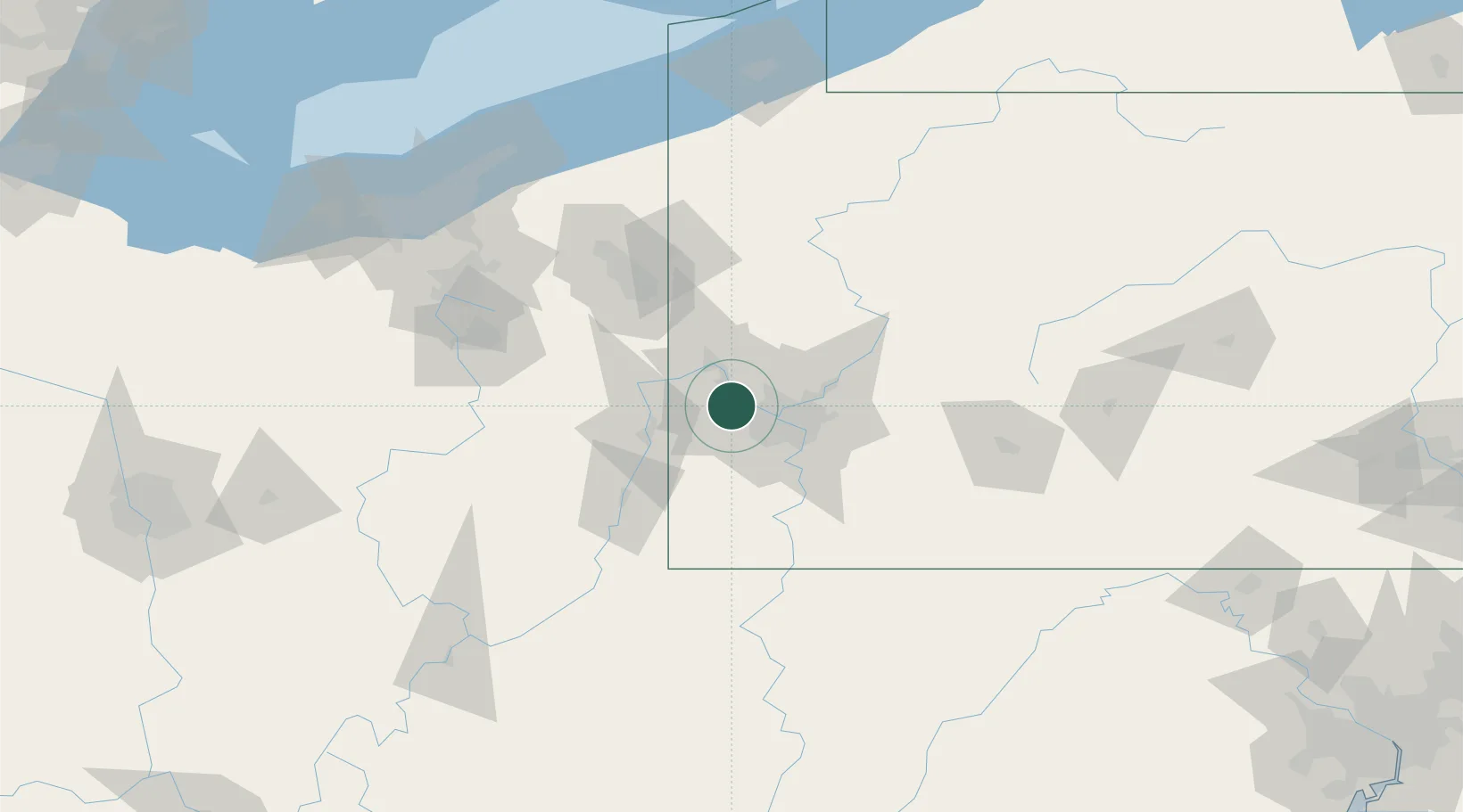
Location
Nearby Logistics Neighbours
Airports
Trade Zones
- 1FTZ No. 033 Pittsburgh16 km
- 2FTZ No. 181 Akron Canton138 km
- 3FTZ No. 295 Central Pennsylvania143 km
- 4FTZ No. 254 Jefferson County161 km
- 5FTZ No. 040 Cleveland176 km
DatabookThe Record of Consolidated Knowledge
United States beyond logistics?