UN/LOCODE hub · United States
USNW2
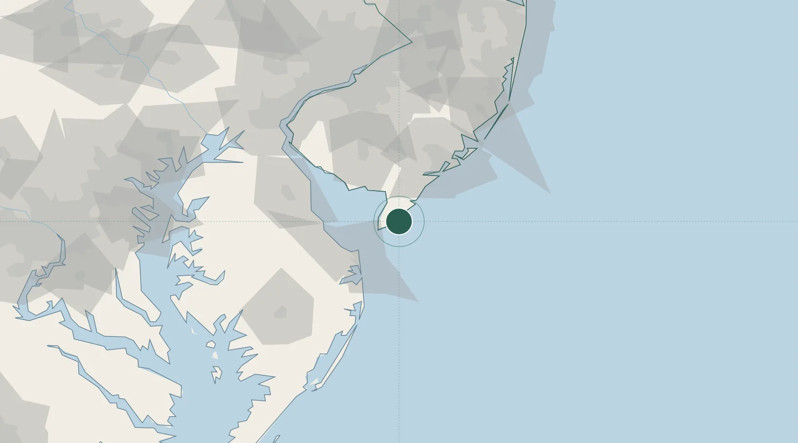
North Wildwood
38.9833°, -74.8167°
3,901
Population
2
Transport functions
Transport Functions
Port
Road
Hub Profile
Place type
Populated place
Region
New Jersey
Population
3,901
Time zone
America/New_York
Elevation
1 m
Location
Nearby Logistics Neighbours
Cities
- 1Rio Grande7 km
- 2Cape May10 km
- 3Cape May Court House11 km
- 4Dennisville24 km
- 5Ocean View32 km
Ports
- 1Atlantic City55 km
- 2Ocean City76 km
- 3Salem Nj95 km
- 4Salisbury97 km
- 5New Castle98 km
Airports
Trade Zones
- 1FTZ No. 142 Salem Millville52 km
- 2FTZ No. 099 Wilmington105 km
- 3FTZ No. 035 Philadelphia120 km
- 4FTZ No. 235 Lakewood131 km
- 5FTZ No. 200 Mercer County144 km
DatabookThe Record of Consolidated Knowledge
United States beyond logistics?