Transport Functions
Port
Hub Profile
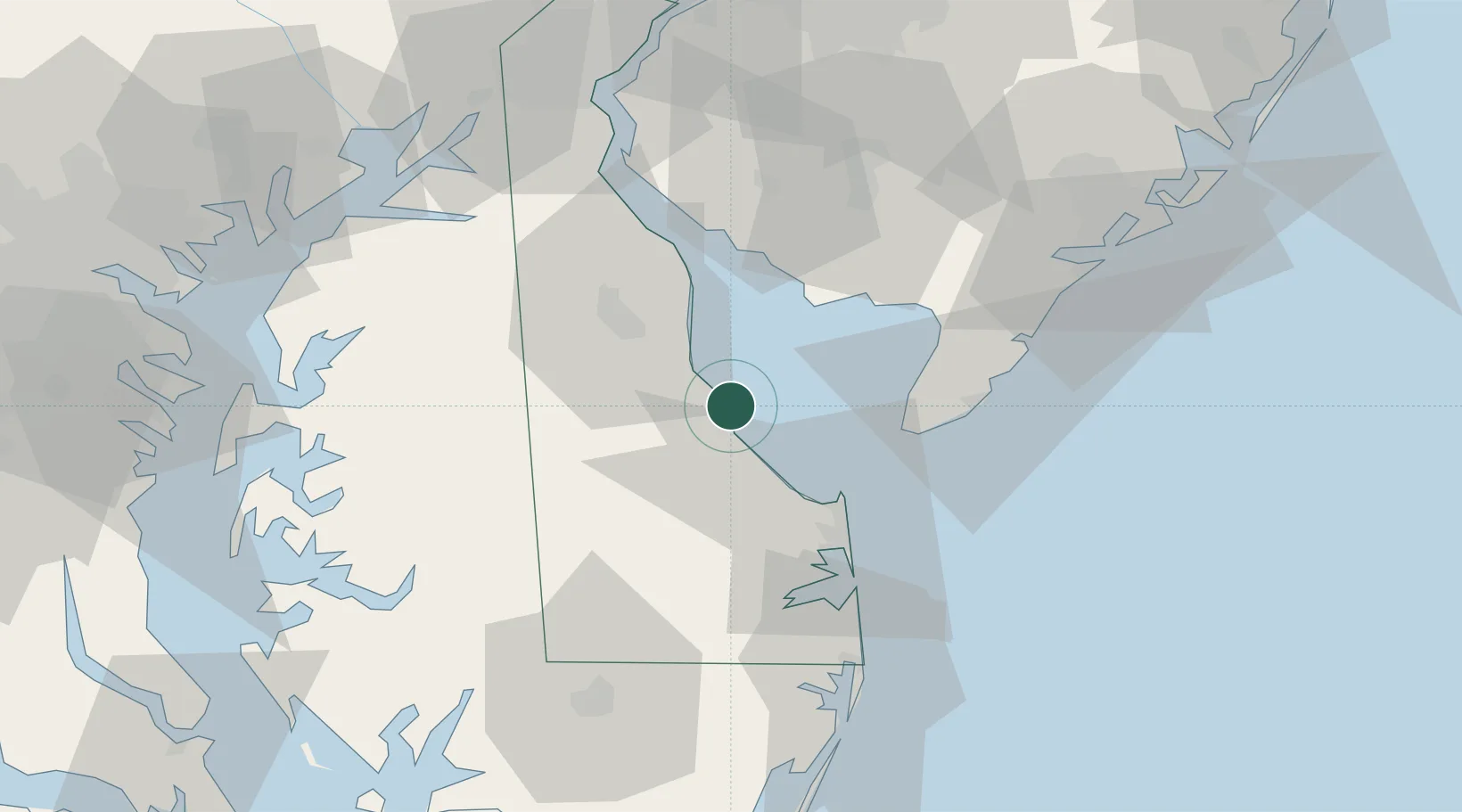
Place type
Populated place
Region
Kentucky
Time zone
America/New_York
Elevation
262 m
Location
Nearby Logistics Neighbours
Cities
- 1Frederica12 km
- 2Ocean View16 km
- 3Camden24 km
- 4Wyoming26 km
- 5Greenwood32 km
Ports
- 1Salisbury73 km
- 2Ocean City75 km
- 3New Castle77 km
- 4Salem Nj77 km
- 5Deepwater Point82 km
Airports
Trade Zones
- 1FTZ No. 142 Salem Millville48 km
- 2FTZ No. 099 Wilmington87 km
- 3FTZ No. 035 Philadelphia113 km
- 4FTZ No. 074 Baltimore115 km
- 5FTZ No. 073 BWI Airport119 km
DatabookThe Record of Consolidated Knowledge
United States beyond logistics?