UN/LOCODE hub · United States
USCGF
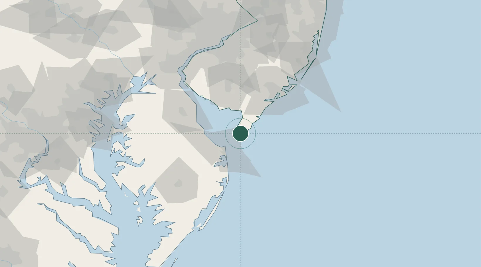
Cape May
38.9333°, -74.9167°
3,514
Population
3
Transport functions
Transport Functions
Port
Rail
Road
Hub Profile
Place type
Populated place
Region
New Jersey
Population
3,514
Time zone
America/New_York
Elevation
2 m
Location
Nearby Logistics Neighbours
Cities
- 1Rio Grande10 km
- 2North Wildwood10 km
- 3Cape May Court House19 km
- 4Ocean View22 km
- 5Dennisville31 km
Ports
- 1Atlantic City65 km
- 2Ocean City68 km
- 3Salisbury87 km
- 4Salem Nj95 km
- 5New Castle97 km
Airports
Trade Zones
- 1FTZ No. 142 Salem Millville54 km
- 2FTZ No. 099 Wilmington105 km
- 3FTZ No. 035 Philadelphia122 km
- 4FTZ No. 235 Lakewood139 km
- 5FTZ No. 200 Mercer County150 km
DatabookThe Record of Consolidated Knowledge
United States beyond logistics?