Transport Functions
Road
Multimodal
Hub Profile
Place type
Populated place
Region
Tennessee
Time zone
America/New_York
Elevation
239 m
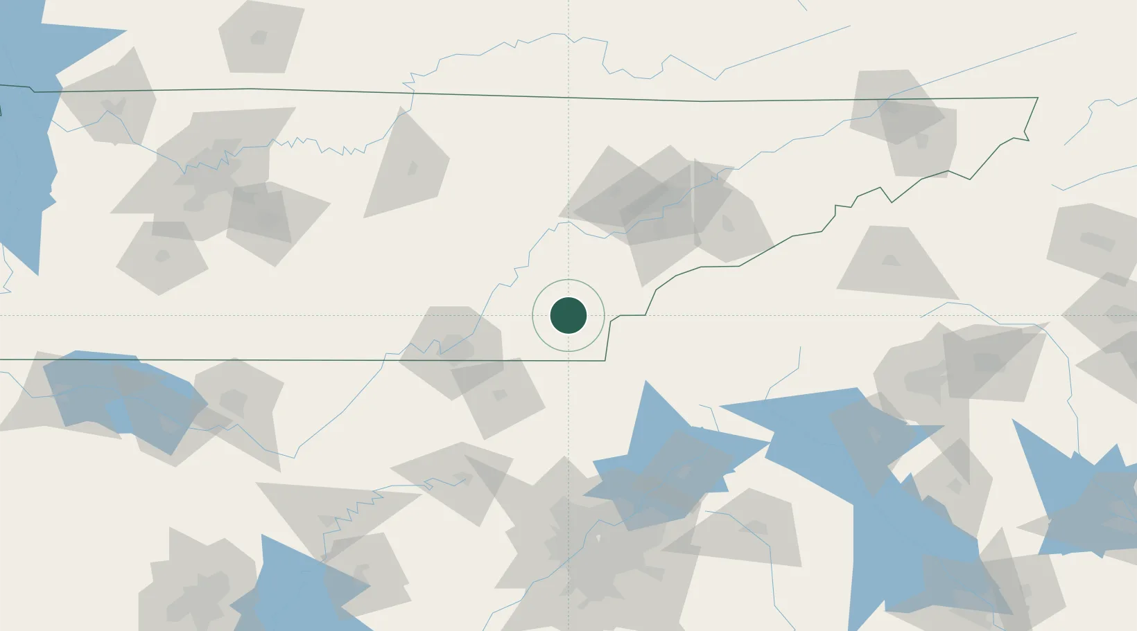
Location
Nearby Logistics Neighbours
Cities
- 1Riceville18 km
- 2Englewood18 km
- 3Calhoun19 km
- 4Ocoee, Polk21 km
- 5Ocoee23 km
Ports
- 1Beaufort477 km
- 2Savannah478 km
- 3Port Royal481 km
- 4Darien521 km
- 5Brunswick539 km
Airports
Trade Zones
- 1FTZ No. 134 Chattanooga78 km
- 2FTZ No. 148 Knoxville85 km
- 3FTZ No. 026 Atlanta168 km
- 4FTZ No. 083 Huntsville214 km
- 5FTZ No. 038 Spartanburg County214 km
DatabookThe Record of Consolidated Knowledge
United States beyond logistics?