Transport Functions
Port
Rail
Road
Multimodal
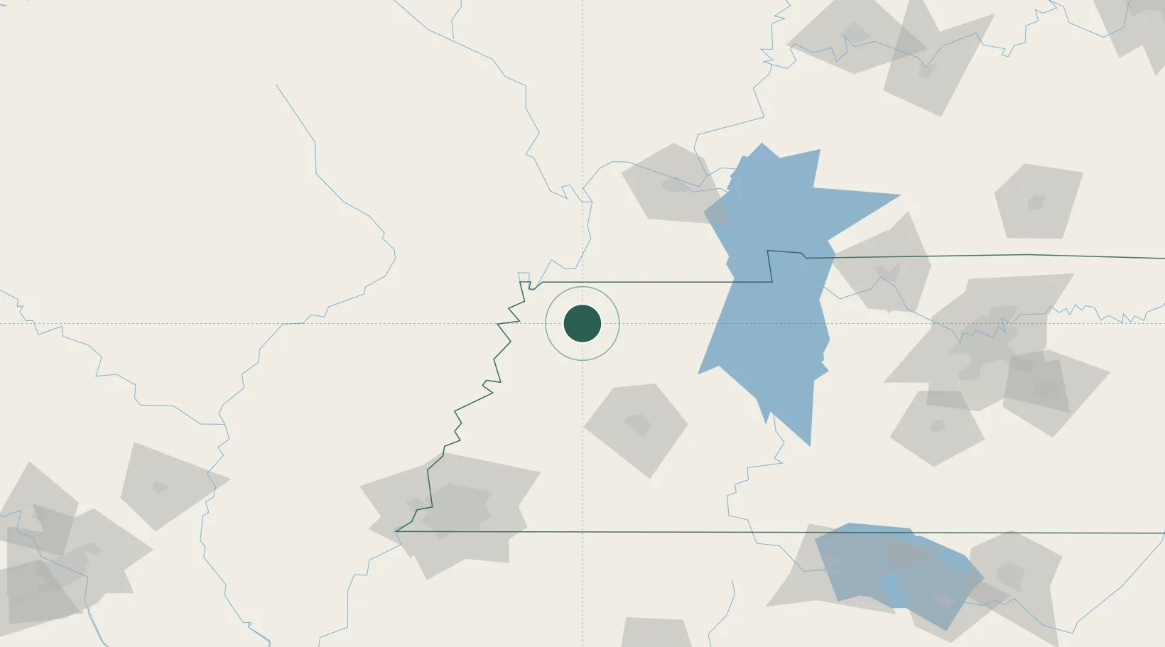
Hub Profile
Place type
Populated place
Region
Tennessee
Population
1,074
Time zone
America/Chicago
Elevation
87 m
Location
Nearby Logistics Neighbours
Cities
- 1Rutherford23 km
- 2Hickman35 km
- 3Greenfield36 km
- 4Trenton39 km
- 5Fulton40 km
Ports
- 1Port Of Memphis159 km
- 2Gary618 km
- 3Indiana Harbor621 km
- 4Calumet Harbor627 km
- 5Mobile627 km
Airports
Trade Zones
- 1FTZ No. 283 West Tennessee71 km
- 2FTZ No. 294 Western Kentucky106 km
- 3FTZ No. 223 Memphis150 km
- 4FTZ No. 273 West Memphis153 km
- 5FTZ No. 077 Memphis158 km
DatabookThe Record of Consolidated Knowledge
United States beyond logistics?