Transport Functions
Rail
Road
Multimodal
Hub Profile
Place type
Provincial seat
Region
Tennessee
Population
4,134
Time zone
America/Chicago
Elevation
101 m
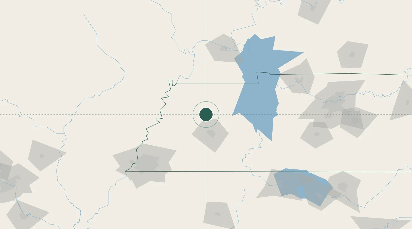
Location
Nearby Logistics Neighbours
Cities
- 1Rutherford17 km
- 2Greenfield24 km
- 3Bells33 km
- 4Obion39 km
- 5Bemis46 km
Ports
- 1Port Of Memphis150 km
- 2Mobile592 km
- 3Biloxi621 km
- 4Gulfport625 km
- 5Pascagoula626 km
Airports
Trade Zones
- 1FTZ No. 283 West Tennessee71 km
- 2FTZ No. 294 Western Kentucky126 km
- 3FTZ No. 223 Memphis142 km
- 4FTZ No. 273 West Memphis146 km
- 5FTZ No. 262 Southaven151 km
DatabookThe Record of Consolidated Knowledge
United States beyond logistics?