UN/LOCODE hub · United States
USGEI
Greenfield
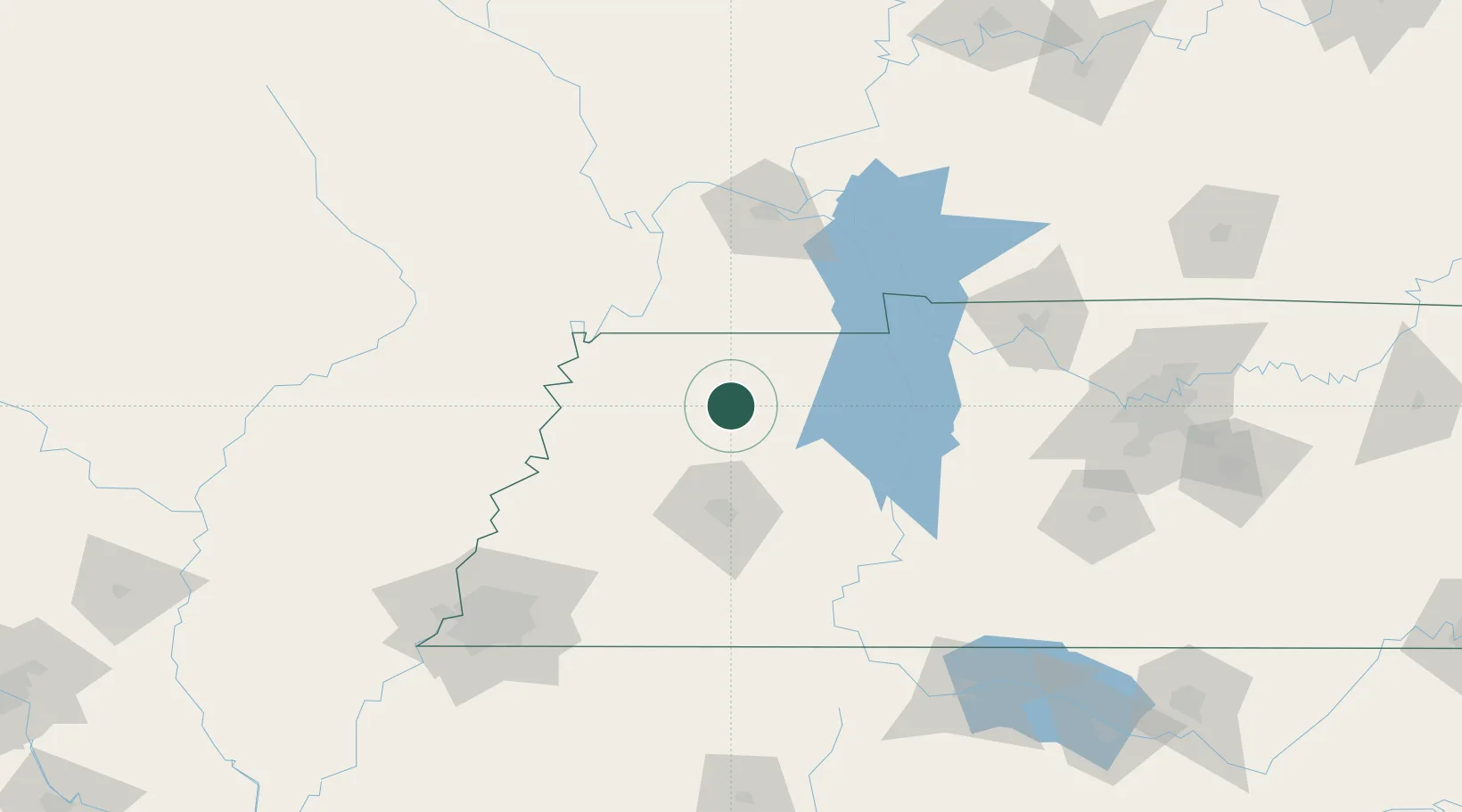
36.1500°, -88.8000°
2,120
Population
3
Transport functions
Transport Functions
Rail
Road
Multimodal
Hub Profile
Place type
Populated place
Region
Tennessee
Population
2,120
Time zone
America/Chicago
Elevation
131 m
Location
Nearby Logistics Neighbours
Cities
- 1Rutherford17 km
- 2Trenton24 km
- 3Henry35 km
- 4Obion36 km
- 5Huntington38 km
Ports
- 1Port Of Memphis173 km
- 2Mobile611 km
- 3Gary621 km
- 4Indiana Harbor625 km
- 5Calumet Harbor631 km
Airports
Trade Zones
- 1FTZ No. 283 West Tennessee90 km
- 2FTZ No. 294 Western Kentucky104 km
- 3FTZ No. 078 Nashville156 km
- 4FTZ No. 223 Memphis164 km
- 5FTZ No. 273 West Memphis168 km
DatabookThe Record of Consolidated Knowledge
United States beyond logistics?