Transport Functions
Port
Rail
Road
Multimodal
Hub Profile
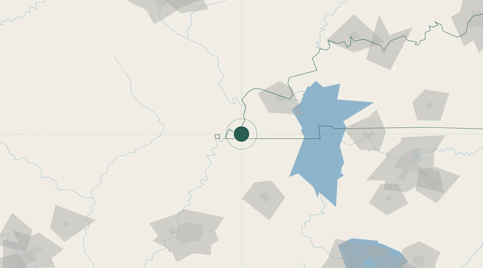
Place type
Provincial seat
Region
Kentucky
Population
2,202
Time zone
America/Chicago
Elevation
142 m
Location
Nearby Logistics Neighbours
Cities
- 1Fulton29 km
- 2New Madrid30 km
- 3Anniston31 km
- 4Holly Springs, Marshall34 km
- 5Obion35 km
Ports
- 1Port Of Memphis189 km
- 2Gary584 km
- 3Indiana Harbor587 km
- 4Calumet Harbor592 km
- 5Chicago607 km
Airports
Trade Zones
- 1FTZ No. 294 Western Kentucky77 km
- 2FTZ No. 283 West Tennessee101 km
- 3FTZ No. 223 Memphis180 km
- 4FTZ No. 273 West Memphis182 km
- 5FTZ No. 077 Memphis187 km
DatabookThe Record of Consolidated Knowledge
United States beyond logistics?