UN/LOCODE hub · United States
USZUT
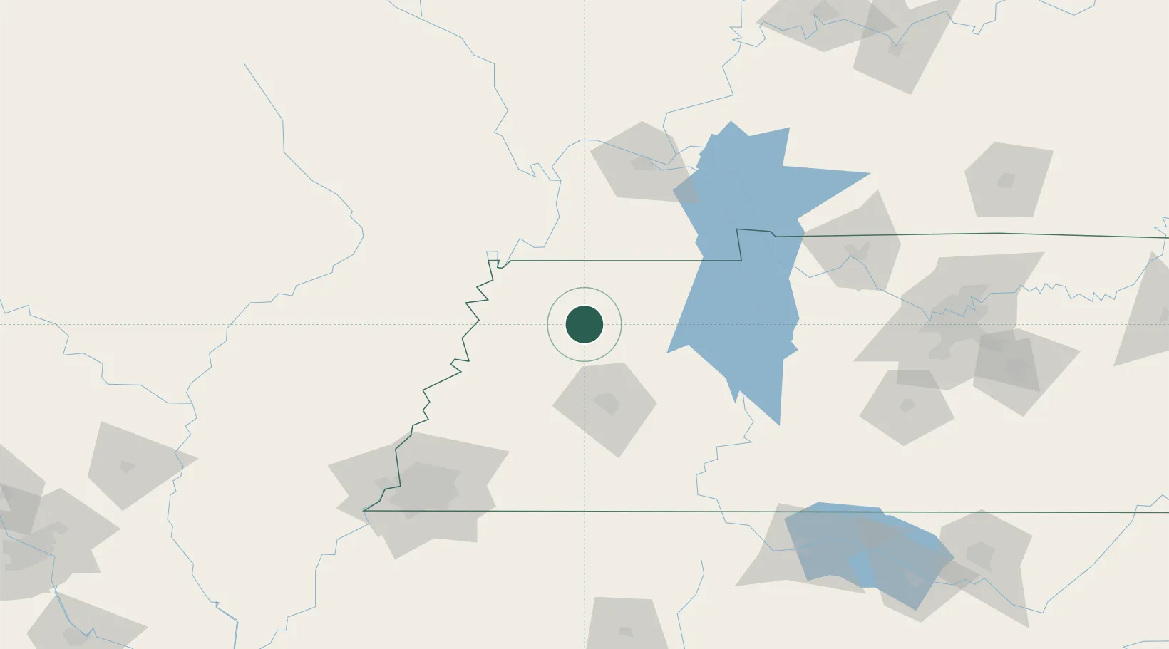
Rutherford
36.1167°, -88.9833°
1,109
Population
2
Transport functions
Transport Functions
Rail
Road
Hub Profile
Place type
Populated place
Region
Tennessee
Population
1,109
Time zone
America/Chicago
Elevation
101 m
Location
Nearby Logistics Neighbours
Cities
- 1Greenfield17 km
- 2Trenton17 km
- 3Obion23 km
- 4Fulton44 km
- 5Bells47 km
Ports
- 1Port Of Memphis158 km
- 2Mobile610 km
- 3Gary628 km
- 4Indiana Harbor632 km
- 5Calumet Harbor637 km
Airports
Trade Zones
- 1FTZ No. 283 West Tennessee74 km
- 2FTZ No. 294 Western Kentucky112 km
- 3FTZ No. 223 Memphis150 km
- 4FTZ No. 273 West Memphis154 km
- 5FTZ No. 077 Memphis159 km
DatabookThe Record of Consolidated Knowledge
United States beyond logistics?