UN/LOCODE hub · United States
USTNJ
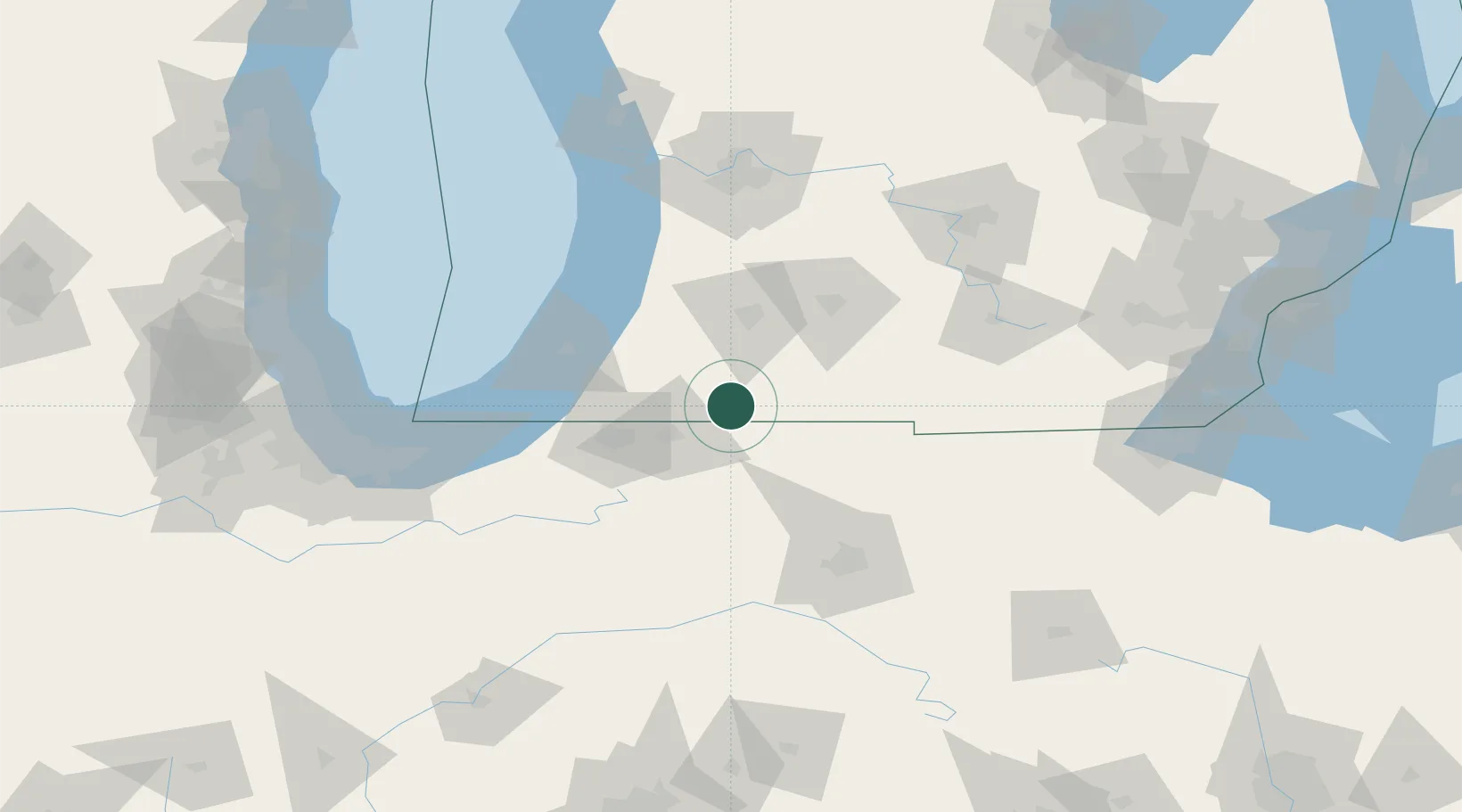
Constantine
41.8333°, -85.6833°
2,064
Population
2
Transport functions
Transport Functions
Road
Multimodal
Hub Profile
Place type
Populated place
Region
Michigan
Population
2,064
Time zone
America/Detroit
Elevation
240 m
Location
Nearby Logistics Neighbours
Cities
- 1Mottville7 km
- 2Centreville17 km
- 3Cassopolis27 km
- 4Vicksburg34 km
- 5Millersburg35 km
Ports
- 1St Joseph73 km
- 2South Haven80 km
- 3Michigan City102 km
- 4Holland112 km
- 5Gary139 km
Airports
Trade Zones
- 1FTZ No. 125 South Bend58 km
- 2FTZ No. 043 Battle Creek65 km
- 3FTZ No. 182 Fort Wayne90 km
- 4FTZ No. 152 Burns Harbor125 km
- 5FTZ No. 101 Clinton County146 km
DatabookThe Record of Consolidated Knowledge
United States beyond logistics?