UN/LOCODE hub · United States
USMY6

Mayo

35.0833°, -81.8500°
1,592
Population
2
Transport functions

Transport Functions

Port
Multimodal
UN/LOCODE

Hub Profile

Place type
Populated place
GeoNames
Region
South Carolina
GeoNames
Population
1,592
GeoNames
Time zone
America/New_York
GeoNames
Elevation
271 m
GeoNames

Location

Location of USMY6
Natural Earth 10m (public domain) · South Carolina · USMY6 · 35.08, -81.85GoogleOSMYandex

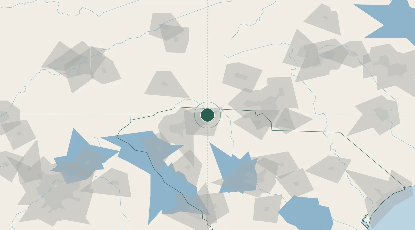
Nearby Logistics Neighbours

Cities
  1. 1Carlisle, Spartanburg10 km
  2. 2New Prospect17 km
  3. 3White Stone21 km
  4. 4Pacolet24 km
  5. 5Ellenboro28 km
Nearest neighbours — logibook spatial index (haversine) over the source coordinates
Ports
  1. 1Georgetown304 km
  2. 2Charleston312 km
  3. 3Beaufort314 km
  4. 4Port Royal321 km
  5. 5Savannah341 km
Nearest neighbours — logibook spatial index (haversine) over the source coordinates
Airports
  1. 1Greenville-Spartanburg International Airport40 km
  2. 2Greenville Downtown Airport53 km
  3. 3Asheville Regional Airport74 km
  4. 4Charlotte Douglas International Airport84 km
  5. 5Hickory Regional Airport84 km
Nearest neighbours — logibook spatial index (haversine) over the source coordinates
Trade Zones
  1. 1FTZ No. 038 Spartanburg County42 km
  2. 2FTZ No. 057 Mecklenburg County72 km
  3. 3FTZ No. 127 West Columbia138 km
  4. 4FTZ No. 204 Tri-Cities164 km
  5. 5FTZ No. 230 Piedmont Triad Area197 km
Nearest neighbours — logibook spatial index (haversine) over the source coordinates
DatabookThe Record of Consolidated Knowledge
United States beyond logistics?
Browse databook

All Sources

LocationsUN/LOCODE
UN/LOCODE — free
LocationsGeoNames
CC BY 4.0
Portsthe NGA World Port Index
Public domain (US gov)
AirportsOurAirports
Public domain
Trade Zonesthe World Bank SEZ database
CC BY 4.0
Trade ZonesOpen Zone Map
CC BY
← United States locations