Transport Functions
Rail
Road
Hub Profile
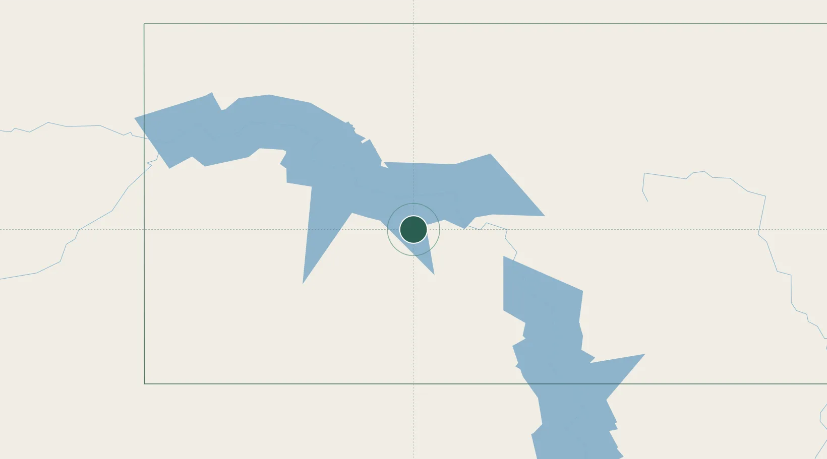
Place type
Populated place
Region
North Dakota
Population
3,393
Time zone
America/North_Dakota/Beulah
Elevation
544 m
Location
Nearby Logistics Neighbours
Cities
- 1Hebron44 km
- 2Glen Ullin48 km
- 3Underwood53 km
- 4Turtle Lake73 km
- 5Mandan83 km
Ports
- 1Duluth734 km
- 2Superior738 km
- 3Two Harbors765 km
- 4Washburn828 km
- 5Ashland830 km
Airports
Trade Zones
- 1FTZ No. 103 Grand Forks352 km
- 2FTZ No. 267 Fargo366 km
- 3Global Transportation Hub Authority417 km
- 4Winnipegs Centreport Canada450 km
- 5FTZ No. 220 Sioux Falls565 km
DatabookThe Record of Consolidated Knowledge
United States beyond logistics?