Transport Functions
Rail
Road
Hub Profile
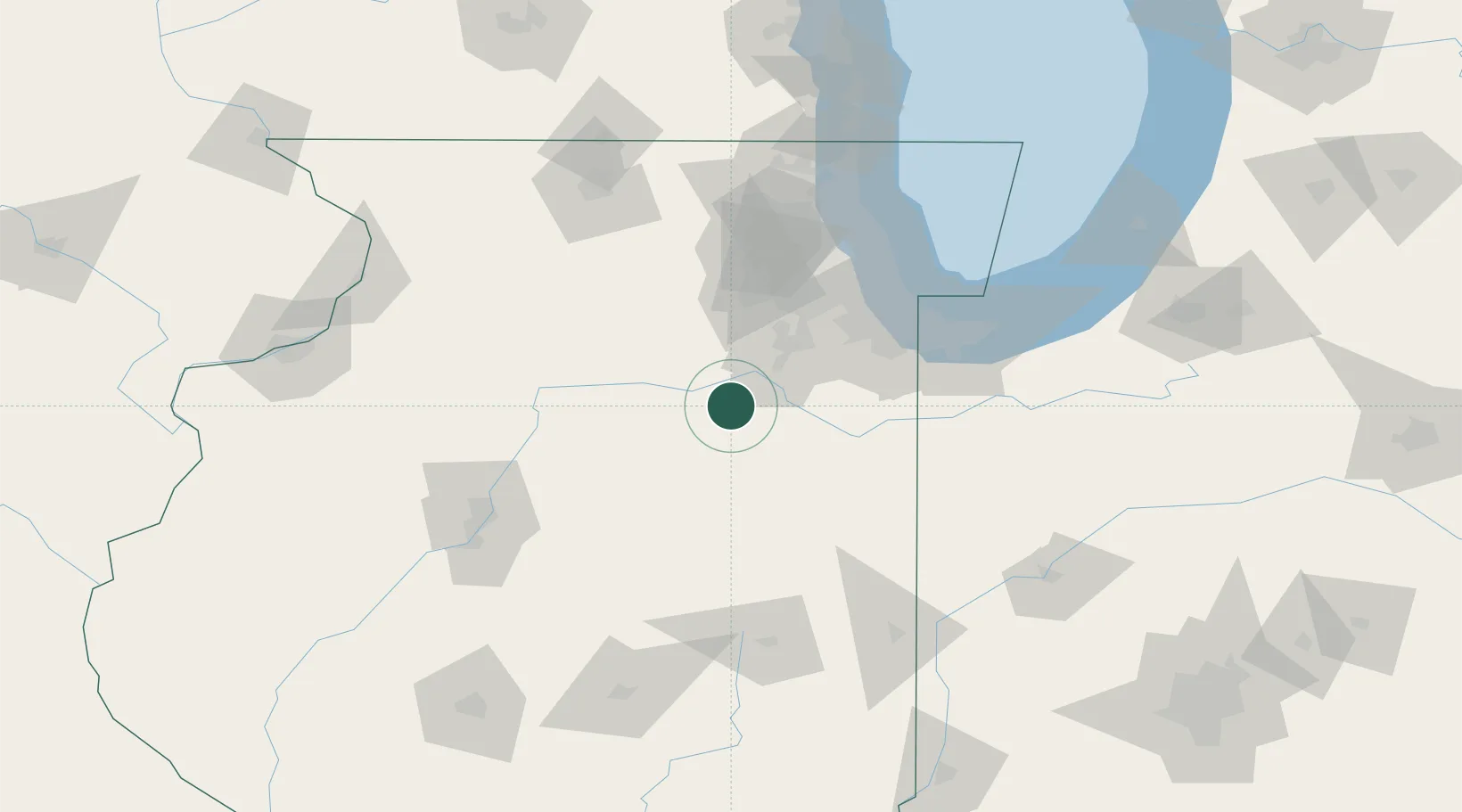
Place type
Populated place
Region
Illinois
Population
989
Time zone
America/Chicago
Elevation
179 m
Location
Nearby Logistics Neighbours
Cities
- 1Marseilles25 km
- 2Millsdale32 km
- 3Wedron37 km
- 4Serena37 km
- 5Crest Hill44 km
Ports
- 1Calumet Harbor93 km
- 2Indiana Harbor95 km
- 3Chicago99 km
- 4Gary100 km
- 5Wilmette112 km
Airports
Trade Zones
- 1FTZ No. 022 Chicago81 km
- 2FTZ No. 152 Burns Harbor113 km
- 3FTZ No. 114 Peoria115 km
- 4FTZ No. 292 Lake County129 km
- 5FTZ No. 176 Rockford131 km
DatabookThe Record of Consolidated Knowledge
United States beyond logistics?