UN/LOCODE hub · United States
USMR2
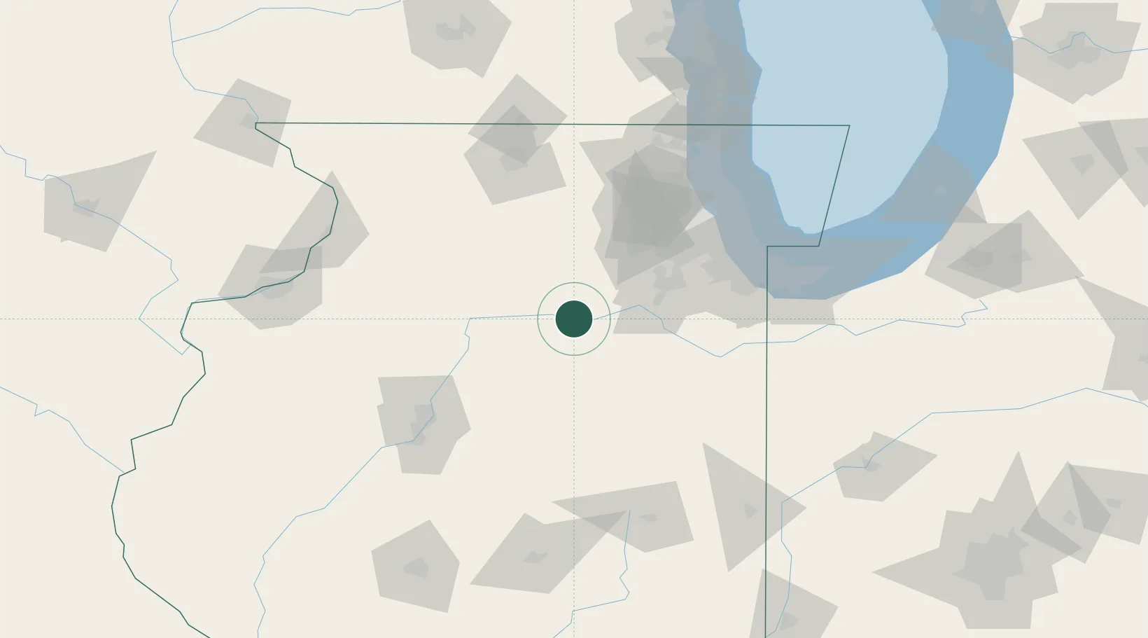
Marseilles
41.3167°, -88.7000°
4,963
Population
3
Transport functions
Transport Functions
Port
Rail
Road
Hub Profile
Place type
Populated place
Region
Illinois
Population
4,963
Time zone
America/Chicago
Elevation
159 m
Location
Nearby Logistics Neighbours
Ports
- 1Calumet Harbor109 km
- 2Chicago111 km
- 3Indiana Harbor112 km
- 4Gary119 km
- 5Wilmette120 km
Airports
Trade Zones
- 1FTZ No. 022 Chicago90 km
- 2FTZ No. 114 Peoria102 km
- 3FTZ No. 176 Rockford112 km
- 4FTZ No. 292 Lake County130 km
- 5FTZ No. 152 Burns Harbor133 km
DatabookThe Record of Consolidated Knowledge
United States beyond logistics?