Transport Functions
Port
Rail
Road
Multimodal
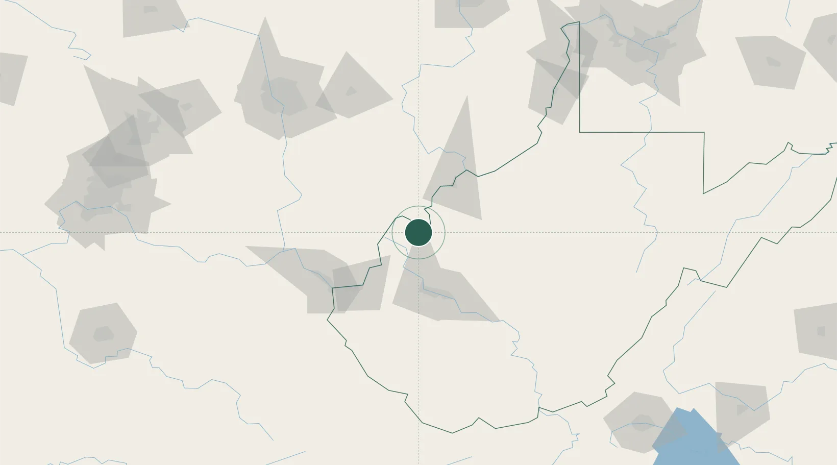
Hub Profile
Place type
Populated place
Region
West Virginia
Time zone
America/New_York
Elevation
176 m
Location
Nearby Logistics Neighbours
Cities
- 1New Haven14 km
- 2Ripley16 km
- 3Cheshire23 km
- 4Buffalo31 km
- 5Fraziers Bottom37 km
Airports
Trade Zones
- 1FTZ No. 229 Charleston62 km
- 2FTZ No. 138 Franklin County139 km
- 3FTZ No. 054 Clinton County176 km
- 4FTZ No. 238 Dublin223 km
- 5FTZ No. 181 Akron Canton231 km
DatabookThe Record of Consolidated Knowledge
United States beyond logistics?