Transport Functions
Port
Rail
Road
Hub Profile
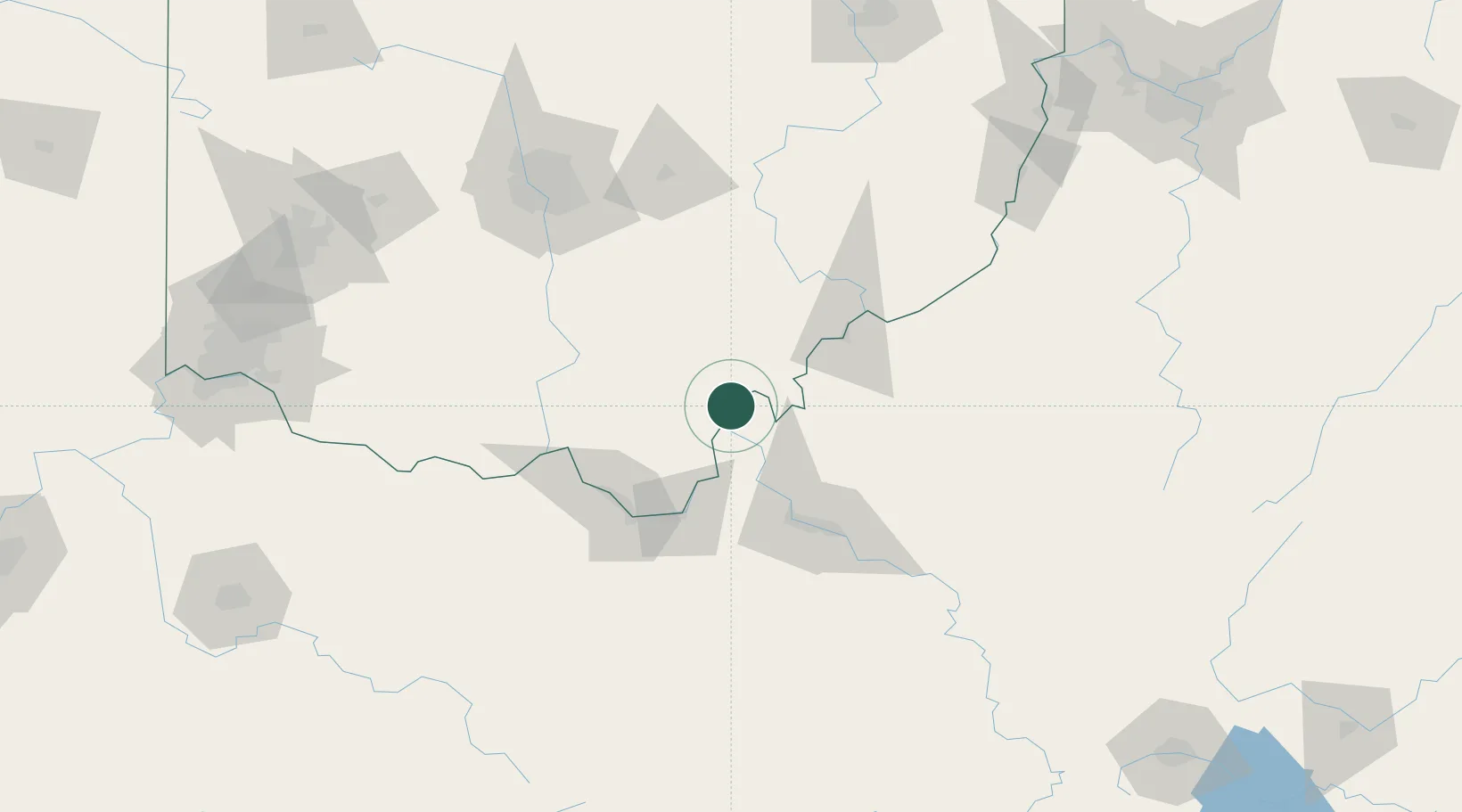
Place type
Populated place
Region
Ohio
Population
131
Time zone
America/New_York
Elevation
173 m
Location
Nearby Logistics Neighbours
Airports
Trade Zones
- 1FTZ No. 229 Charleston76 km
- 2FTZ No. 138 Franklin County119 km
- 3FTZ No. 054 Clinton County154 km
- 4FTZ No. 046 CIncinnati208 km
- 5FTZ No. 100 Dayton209 km
DatabookThe Record of Consolidated Knowledge
United States beyond logistics?