Transport Functions
Road
Multimodal
Hub Profile
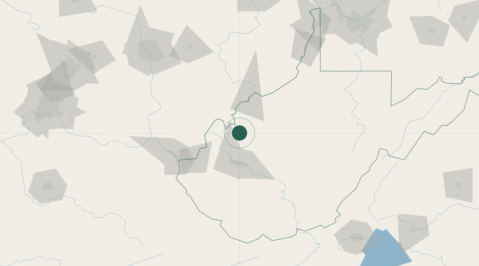
Place type
Provincial seat
Region
West Virginia
Population
3,255
Time zone
America/New_York
Elevation
187 m
Location
Nearby Logistics Neighbours
Cities
- 1Millwood16 km
- 2New Haven30 km
- 3Buffalo33 km
- 4Sissonville34 km
- 5Fraziers Bottom37 km
Airports
Trade Zones
- 1FTZ No. 229 Charleston53 km
- 2FTZ No. 138 Franklin County154 km
- 3FTZ No. 054 Clinton County193 km
- 4FTZ No. 238 Dublin210 km
- 5FTZ No. 033 Pittsburgh228 km
DatabookThe Record of Consolidated Knowledge
United States beyond logistics?