UN/LOCODE hub · United States
USYNH
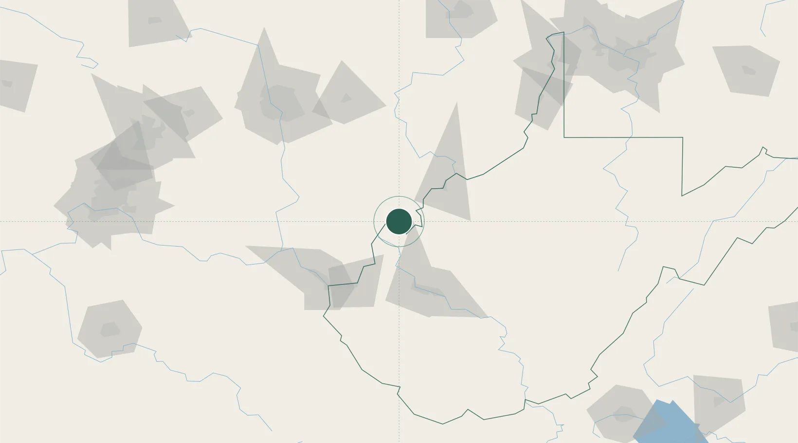
New Haven
38.9833°, -81.9667°
1,532
Population
3
Transport functions
Transport Functions
Rail
Road
Multimodal
Hub Profile
Place type
Populated place
Region
West Virginia
Population
1,532
Time zone
America/New_York
Elevation
183 m
Location
Nearby Logistics Neighbours
Cities
- 1Cheshire14 km
- 2Millwood14 km
- 3Ripley30 km
- 4Bidwell30 km
- 5Little Hocking38 km
Airports
Trade Zones
- 1FTZ No. 229 Charleston75 km
- 2FTZ No. 138 Franklin County125 km
- 3FTZ No. 054 Clinton County165 km
- 4FTZ No. 181 Akron Canton220 km
- 5FTZ No. 033 Pittsburgh230 km
DatabookThe Record of Consolidated Knowledge
United States beyond logistics?