UN/LOCODE hub · United States
USDX2
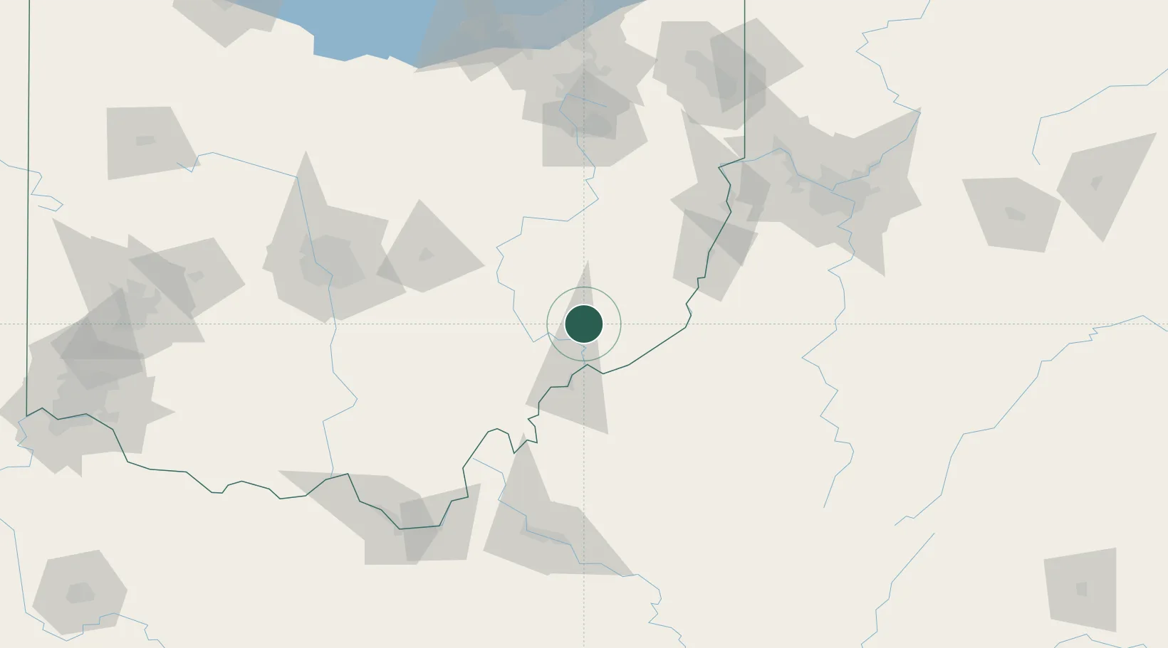
Dexter City
39.6500°, -81.4833°
126
Population
2
Transport functions
Transport Functions
Rail
Road
Hub Profile
Place type
Populated place
Region
Ohio
Population
126
Time zone
America/New_York
Elevation
217 m
Location
Nearby Logistics Neighbours
Cities
- 1Whipple17 km
- 2Williamstown28 km
- 3Greenwood, Guernsey30 km
- 4McConnelsville32 km
- 5Malta32 km
Airports
Trade Zones
- 1FTZ No. 138 Franklin County126 km
- 2FTZ No. 229 Charleston147 km
- 3FTZ No. 181 Akron Canton147 km
- 4FTZ No. 033 Pittsburgh150 km
- 5FTZ No. 054 Clinton County199 km
DatabookThe Record of Consolidated Knowledge
United States beyond logistics?