UN/LOCODE hub · United States
USMVN
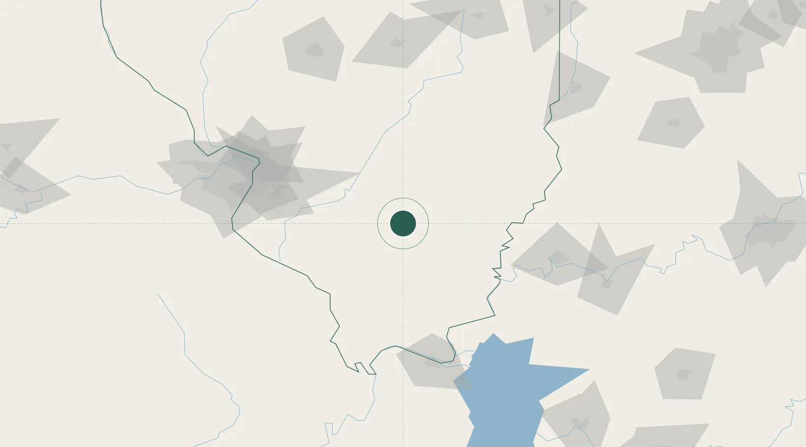
Mount Vernon
38.2914°, -88.8895°
15,087
Population
4
Transport functions
Transport Functions
Rail
Road
Airport
Multimodal
Hub Profile
Place type
Provincial seat
Region
Illinois
Population
15,087
Time zone
America/Chicago
Elevation
156 m
Logistics facilities
1
Location
Nearby Logistics Neighbours
Cities
- 1Ashley26 km
- 2Union, Neshaboa36 km
- 3Sandoval41 km
- 4Du Quoin44 km
- 5Fairfield48 km
Ports
- 1Port Of Memphis376 km
- 2Gary393 km
- 3Indiana Harbor395 km
- 4Calumet Harbor400 km
- 5Chicago414 km
Airports
Trade Zones
- 1FTZ No. 177 Evansville116 km
- 2FTZ No. 031 Granite City125 km
- 3FTZ No. 294 Western Kentucky139 km
- 4FTZ No. 102 St. Louis County163 km
- 5FTZ No. 245 Decatur175 km
DatabookThe Record of Consolidated Knowledge
United States beyond logistics?