UN/LOCODE hub · United States
USDUU
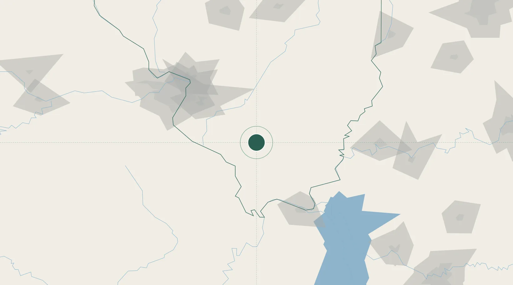
Du Quoin
38.0000°, -89.2333°
5,949
Population
3
Transport functions
Transport Functions
Rail
Road
Multimodal
Hub Profile
Place type
Populated place
Region
Illinois
Population
5,949
Time zone
America/Chicago
Elevation
142 m
Location
Nearby Logistics Neighbours
Cities
- 1Pinckneyville16 km
- 2Ashley36 km
- 3Steeleville37 km
- 4Coulterville38 km
- 5Pomona42 km
Ports
- 1Port Of Memphis337 km
- 2Gary434 km
- 3Indiana Harbor436 km
- 4Calumet Harbor440 km
- 5Chicago454 km
Airports
Trade Zones
- 1FTZ No. 031 Granite City118 km
- 2FTZ No. 294 Western Kentucky119 km
- 3FTZ No. 177 Evansville142 km
- 4FTZ No. 102 St. Louis County147 km
- 5FTZ No. 245 Decatur207 km
DatabookThe Record of Consolidated Knowledge
United States beyond logistics?