UN/LOCODE hub · United States
USXUI

Union, Neshaboa

38.5667°, -89.1167°
2
Transport functions

Transport Functions

Road
Multimodal
UN/LOCODE

Hub Profile

Region
MS
GeoNames

Location

Location of USXUI
Natural Earth 10m (public domain) · MS · USXUI · 38.57, -89.12GoogleOSMYandex

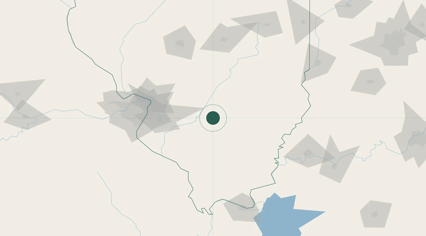
Nearby Logistics Neighbours

Cities
  1. 1Sandoval6 km
  2. 2Keyesport23 km
  3. 3Vernon26 km
  4. 4Ashley28 km
  5. 5Germantown36 km
Nearest neighbours — logibook spatial index (haversine) over the source coordinates
Ports
  1. 1Gary372 km
  2. 2Indiana Harbor373 km
  3. 3Calumet Harbor377 km
  4. 4Chicago391 km
  5. 5Michigan City399 km
Nearest neighbours — logibook spatial index (haversine) over the source coordinates
Airports
  1. 1Scott AFB/Midamerica Airport63 km
  2. 2St Louis Regional Airport88 km
  3. 3Southern Illinois Airport89 km
  4. 4Veterans Airport of Southern Illinois91 km
  5. 5St. Louis Lambert International Airport111 km
Nearest neighbours — logibook spatial index (haversine) over the source coordinates
Trade Zones
  1. 1FTZ No. 031 Granite City96 km
  2. 2FTZ No. 102 St. Louis County139 km
  3. 3FTZ No. 245 Decatur143 km
  4. 4FTZ No. 177 Evansville146 km
  5. 5FTZ No. 294 Western Kentucky173 km
Nearest neighbours — logibook spatial index (haversine) over the source coordinates
DatabookThe Record of Consolidated Knowledge
United States beyond logistics?
Browse databook

All Sources

LocationsUN/LOCODE
UN/LOCODE — free
Portsthe NGA World Port Index
Public domain (US gov)
AirportsOurAirports
Public domain
Trade Zonesthe World Bank SEZ database
CC BY 4.0
Trade ZonesOpen Zone Map
CC BY
← United States locations