Transport Functions
Multimodal
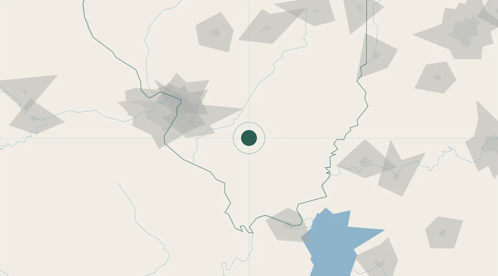
Hub Profile
Place type
Populated place
Region
Illinois
Population
507
Time zone
America/Chicago
Elevation
167 m
Location
Nearby Logistics Neighbours
Cities
- 1Mount Vernon26 km
- 2Union, Neshaboa28 km
- 3Pinckneyville31 km
- 4Sandoval34 km
- 5Du Quoin36 km
Ports
- 1Port Of Memphis372 km
- 2Gary399 km
- 3Indiana Harbor401 km
- 4Calumet Harbor406 km
- 5Chicago419 km
Airports
Trade Zones
- 1FTZ No. 031 Granite City100 km
- 2FTZ No. 102 St. Louis County138 km
- 3FTZ No. 177 Evansville142 km
- 4FTZ No. 294 Western Kentucky149 km
- 5FTZ No. 245 Decatur172 km
DatabookThe Record of Consolidated Knowledge
United States beyond logistics?