UN/LOCODE hub · United States
USH6B
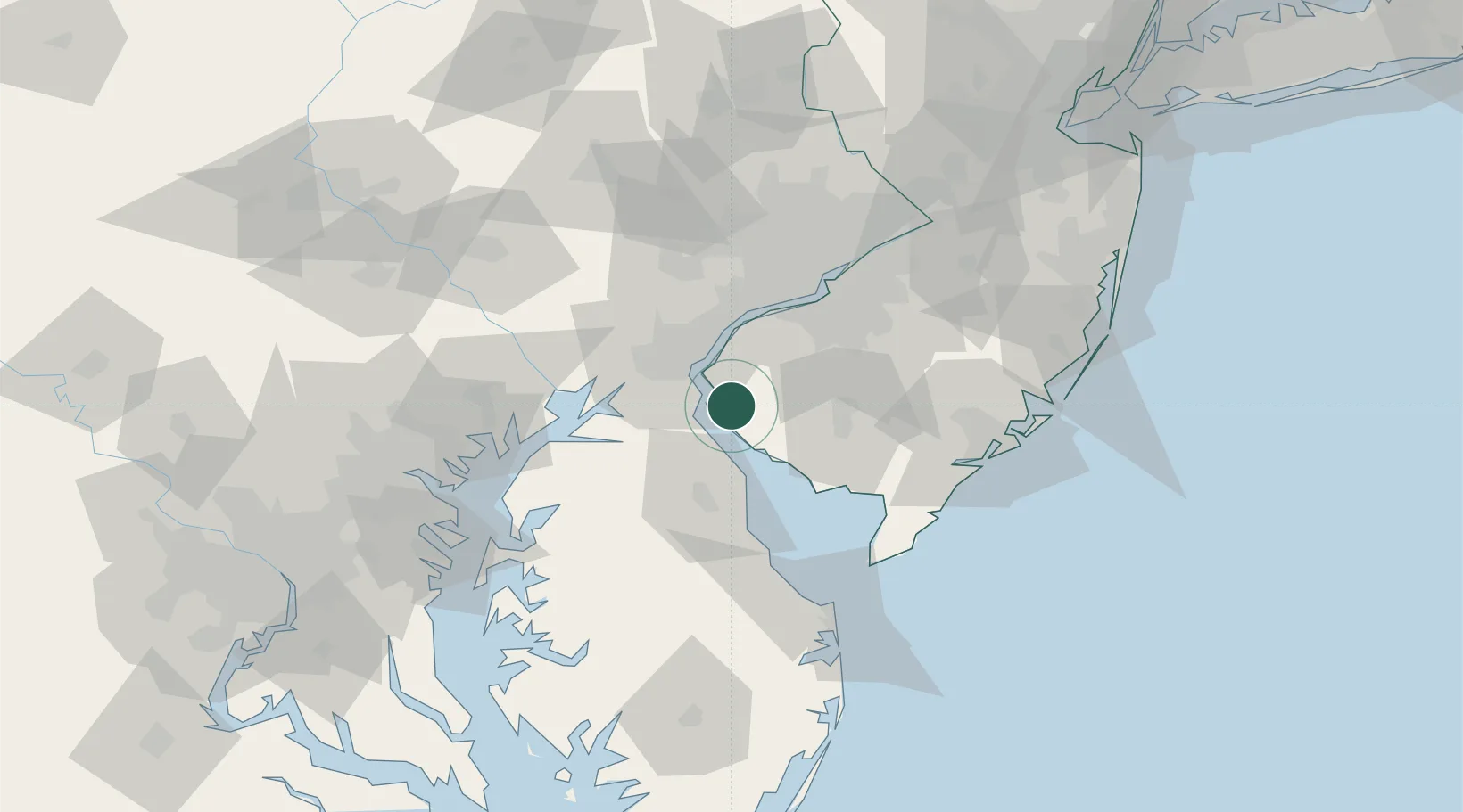
Hancocks Bridge
39.5000°, -75.4500°
254
Population
1
Transport functions
Transport Functions
Multimodal
Hub Profile
Place type
Populated place
Region
New Jersey
Population
254
Time zone
America/New_York
Elevation
1 m
Location
Nearby Logistics Neighbours
Cities
- 1Mannington7 km
- 2Mannington Mills9 km
- 3Delaware City14 km
- 4Odessa18 km
- 5Deerfield19 km
Ports
- 1Salem Nj19 km
- 2New Castle19 km
- 3Deepwater Point23 km
- 4Wilmington27 km
- 5Marcus Hook35 km
Airports
Trade Zones
- 1FTZ No. 099 Wilmington28 km
- 2FTZ No. 142 Salem Millville31 km
- 3FTZ No. 035 Philadelphia58 km
- 4FTZ No. 200 Mercer County101 km
- 5FTZ No. 074 Baltimore102 km
DatabookThe Record of Consolidated Knowledge
United States beyond logistics?