Transport Functions
Road
Multimodal
Hub Profile
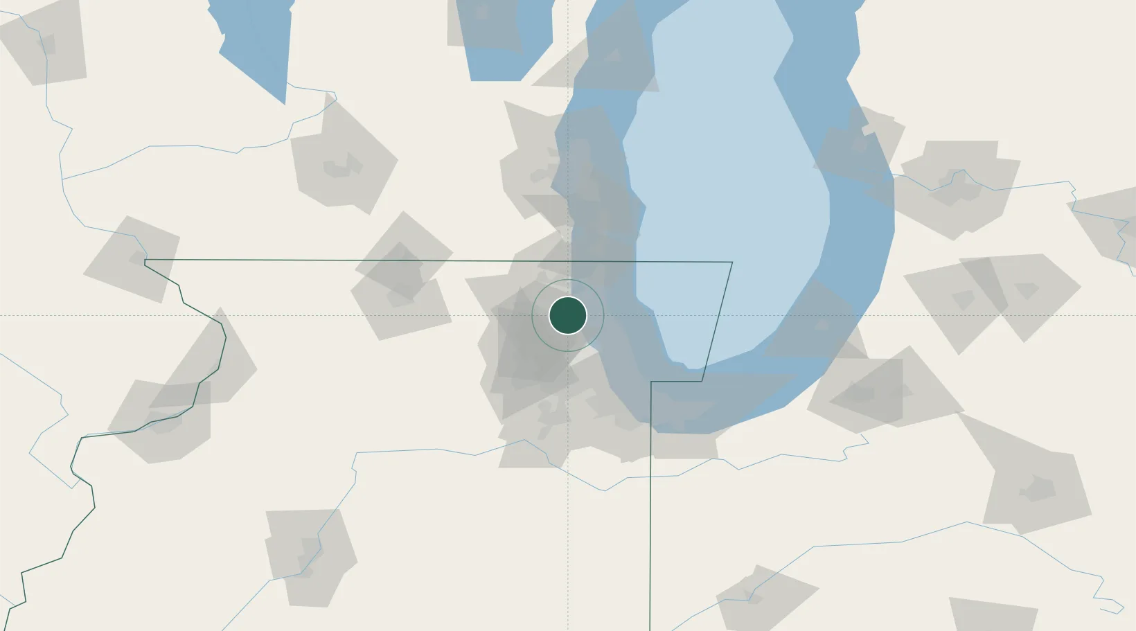
Place type
Populated place
Region
Illinois
Population
4,040
Time zone
America/Chicago
Elevation
237 m
Location
Nearby Logistics Neighbours
Cities
- 1Deer Park5 km
- 2Fairfield6 km
- 3Mettawa11 km
- 4Green Oaks17 km
- 5Volo20 km
Ports
- 1Great Lakes22 km
- 2Waukegan29 km
- 3Wilmette30 km
- 4Chicago48 km
- 5Kenosha50 km
Airports
Trade Zones
- 1FTZ No. 292 Lake County21 km
- 2FTZ No. 022 Chicago39 km
- 3FTZ No. 152 Burns Harbor94 km
- 4FTZ No. 176 Rockford97 km
- 5FTZ No. 041 Milwaukee99 km
DatabookThe Record of Consolidated Knowledge
United States beyond logistics?