UN/LOCODE hub · United States
USFJY
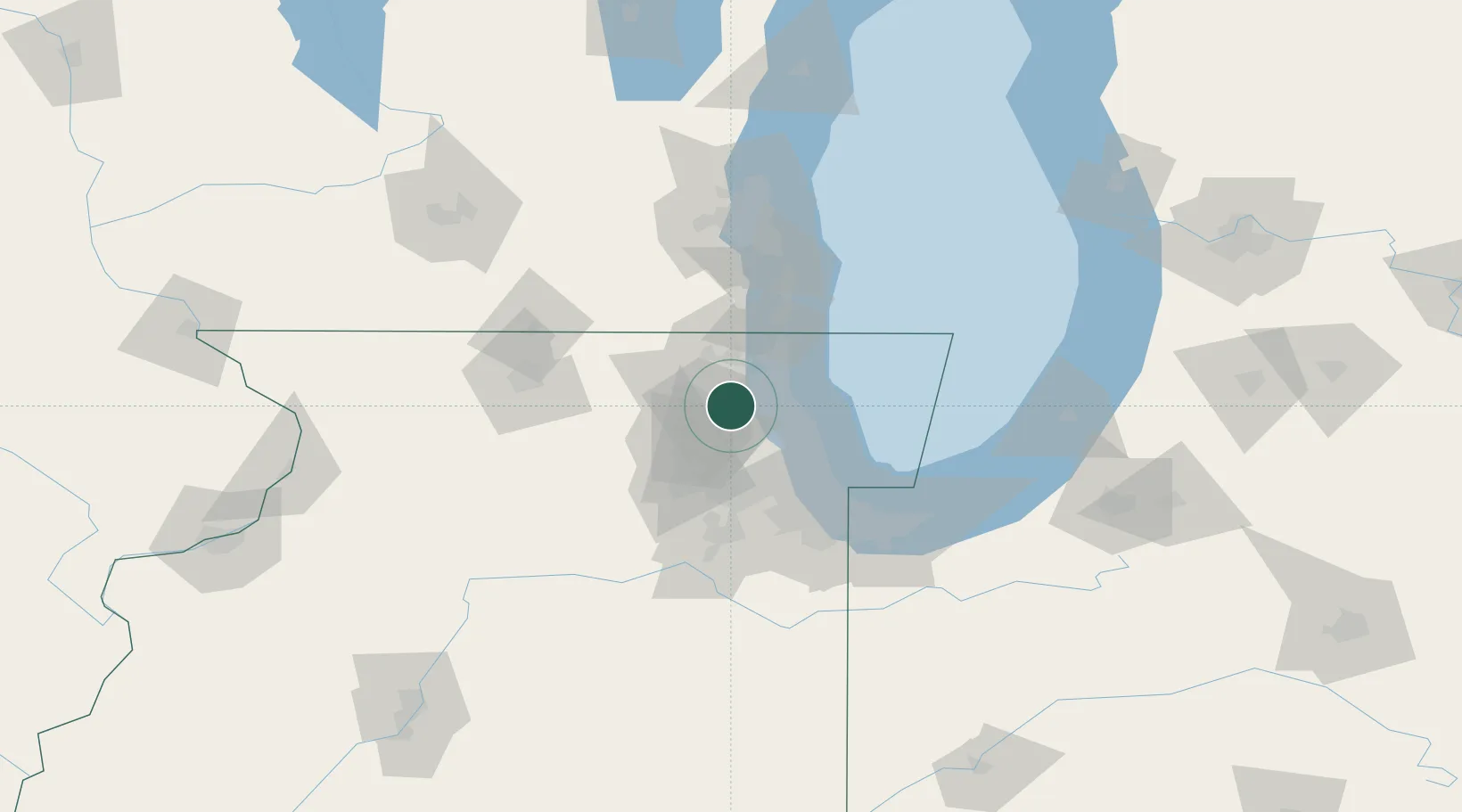
Deer Park
42.1500°, -88.0833°
3,759
Population
1
Transport functions
Transport Functions
Port
Hub Profile
Place type
Populated place
Region
Illinois
Population
3,759
Time zone
America/Chicago
Elevation
259 m
Location
Nearby Logistics Neighbours
Ports
- 1Great Lakes27 km
- 2Waukegan33 km
- 3Wilmette34 km
- 4Chicago50 km
- 5Kenosha53 km
Airports
Trade Zones
- 1FTZ No. 292 Lake County25 km
- 2FTZ No. 022 Chicago39 km
- 3FTZ No. 176 Rockford93 km
- 4FTZ No. 152 Burns Harbor96 km
- 5FTZ No. 041 Milwaukee101 km
DatabookThe Record of Consolidated Knowledge
United States beyond logistics?