Transport Functions
Multimodal
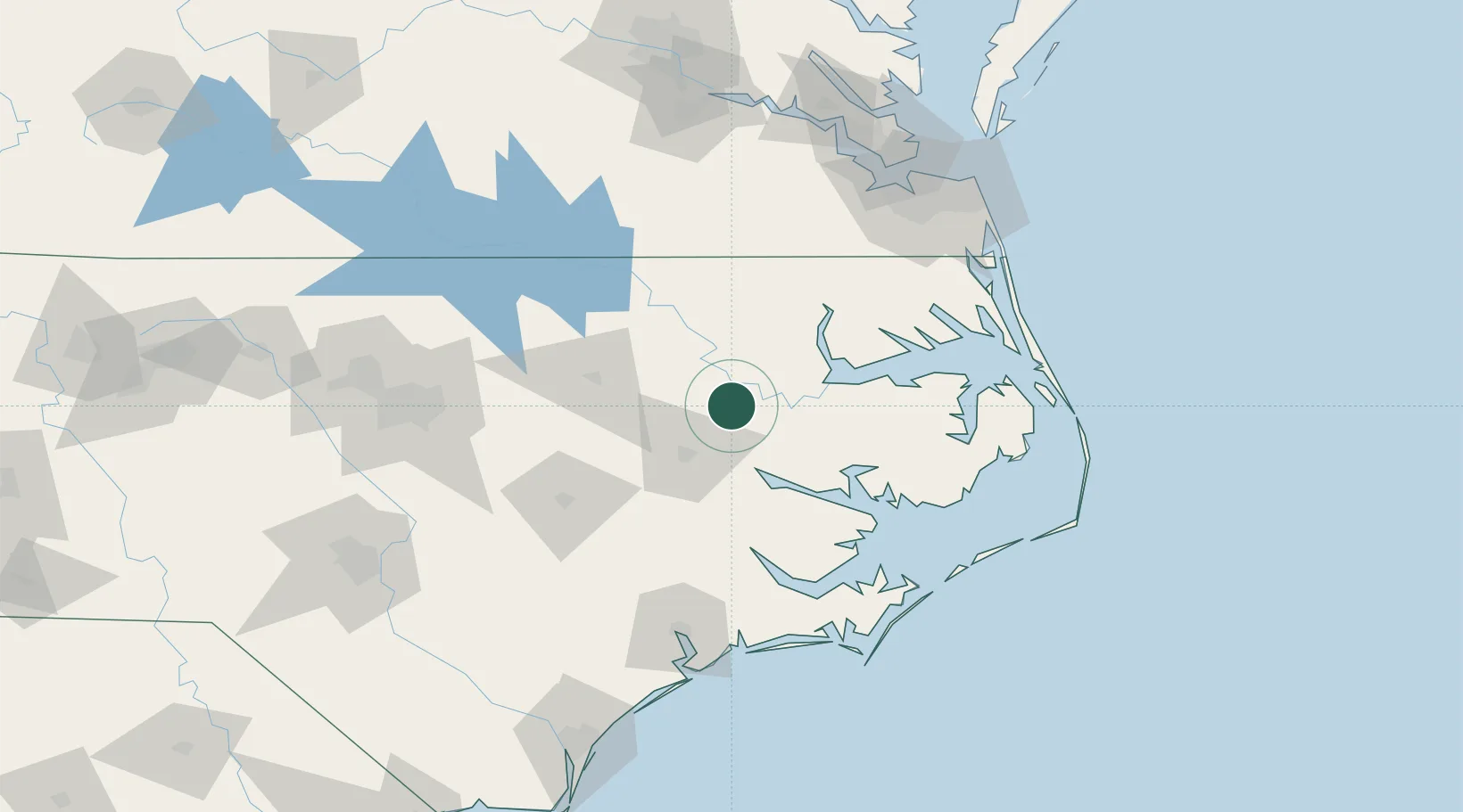
Hub Profile
Place type
Populated place
Region
North Carolina
Population
159
Time zone
America/New_York
Elevation
17 m
Location
Nearby Logistics Neighbours
Cities
- 1Robersonville6 km
- 2Hamilton12 km
- 3Bethel, Pitt21 km
- 4Lewiston32 km
- 5Winterville40 km
Ports
- 1Washington33 km
- 2Plymouth38 km
- 3Edenton55 km
- 4Belhaven55 km
- 5Hertford74 km
Airports
Trade Zones
- 1FTZ No. 214 Lenoir County95 km
- 2FTZ No. 020 Suffolk132 km
- 3FTZ No. 093 Raleigh Durham157 km
- 4FTZ No. 207 Richmond191 km
- 5FTZ No. 230 Piedmont Triad Area271 km
DatabookThe Record of Consolidated Knowledge
United States beyond logistics?