Transport Functions
Port
Road
Multimodal
Hub Profile
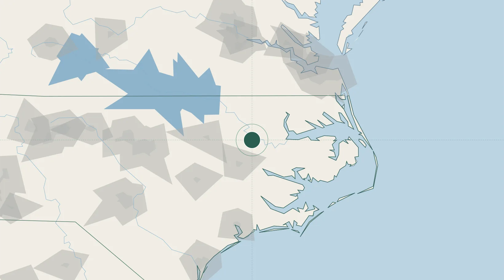
Place type
Populated place
Region
North Carolina
Population
384
Time zone
America/New_York
Elevation
23 m
Location
Nearby Logistics Neighbours
Cities
- 1Everetts12 km
- 2Robersonville13 km
- 3Lewiston21 km
- 4Bethel, Pitt23 km
- 5Rich Square38 km
Ports
- 1Plymouth41 km
- 2Washington45 km
- 3Edenton54 km
- 4Belhaven63 km
- 5Hertford72 km
Airports
Trade Zones
- 1FTZ No. 214 Lenoir County101 km
- 2FTZ No. 020 Suffolk123 km
- 3FTZ No. 093 Raleigh Durham154 km
- 4FTZ No. 207 Richmond180 km
- 5FTZ No. 230 Piedmont Triad Area267 km
DatabookThe Record of Consolidated Knowledge
United States beyond logistics?