Transport Functions
Rail
Road
Hub Profile
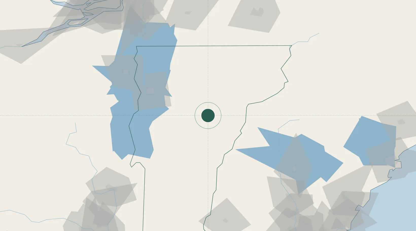
Place type
Populated place
Region
Vermont
Population
8,746
Time zone
America/New_York
Elevation
194 m
Location
Nearby Logistics Neighbours
Cities
- 1Berlin Corners7 km
- 2Montpelier9 km
- 3Northfield13 km
- 4Randolph31 km
- 5Monroe37 km
Ports
- 1Beauharnois167 km
- 2Montreal170 km
- 3Coteau Landing179 km
- 4Saco181 km
- 5Vaudreuil182 km
Airports
Trade Zones
- 1FTZ No. 268 Brattleboro147 km
- 2Greater Montreal Free Zone Center170 km
- 3FTZ No. 081 Portsmouth183 km
- 4FTZ No. 263 Auburn183 km
- 5FTZ No. 121 Albany195 km
DatabookThe Record of Consolidated Knowledge
United States beyond logistics?