UN/LOCODE hub · United States
USM44
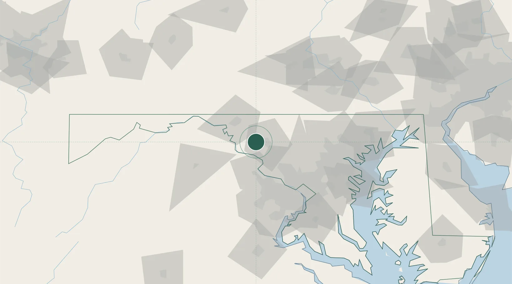
Middletown
39.4333°, -77.5333°
4,469
Population
1
Transport functions
Transport Functions
Port
Hub Profile
Place type
Populated place
Region
Maryland
Population
4,469
Time zone
America/New_York
Elevation
172 m
Location
Nearby Logistics Neighbours
Cities
- 1Adamstown16 km
- 2Lovettsville20 km
- 3Ijamsville21 km
- 4Woodsboro22 km
- 5Harpers Ferry23 km
Ports
- 1Washington D.C.76 km
- 2Alexandria83 km
- 3Baltimore84 km
- 4Annapolis103 km
- 5Havre De Grace125 km
Airports
Trade Zones
DatabookThe Record of Consolidated Knowledge
United States beyond logistics?