UN/LOCODE hub · United States
USXWT
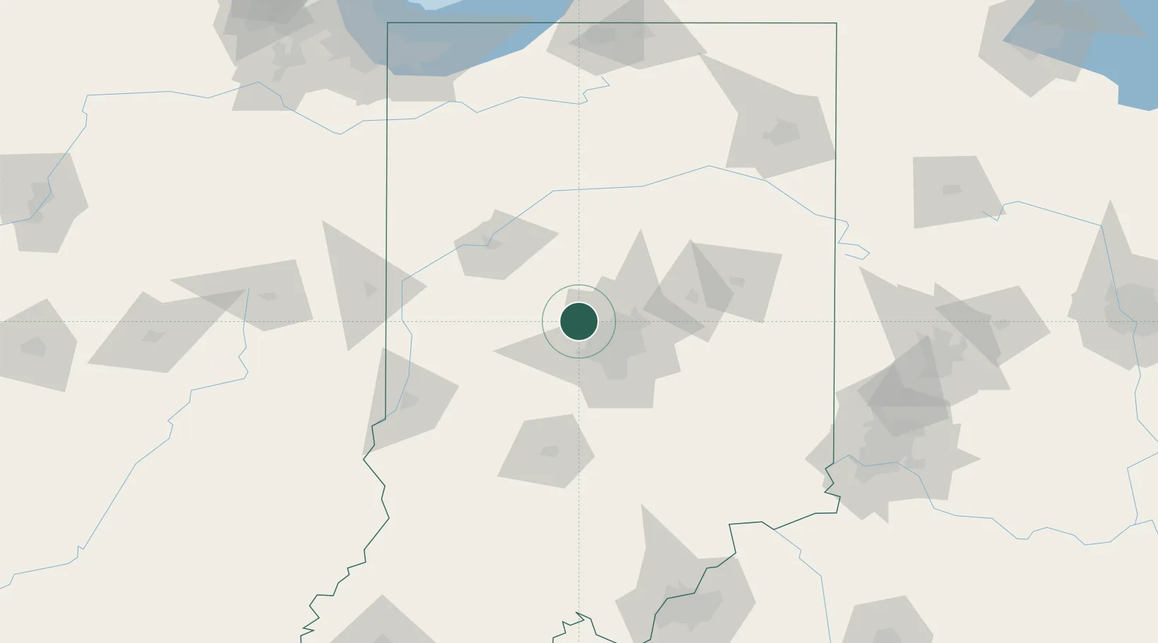
Whitestown
39.9528°, -86.3635°
6,013
Population
4
Transport functions
Transport Functions
Port
Rail
Road
Multimodal
Hub Profile
Place type
Populated place
Region
Indiana
Population
6,013
Time zone
America/Indiana/Indianapolis
Elevation
286 m
Logistics facilities
2
Location
Nearby Logistics Neighbours
Cities
- 1Zionsville10 km
- 2Brownsburg13 km
- 3Lizton18 km
- 4Avon22 km
- 5Danville26 km
Ports
- 1Gary202 km
- 2Michigan City203 km
- 3Indiana Harbor211 km
- 4Calumet Harbor221 km
- 5Chicago239 km
Airports
Trade Zones
- 1FTZ No. 072 Indianapolis26 km
- 2FTZ No. 182 Fort Wayne155 km
- 3FTZ No. 047 Boone County168 km
- 4FTZ No. 100 Dayton178 km
- 5FTZ No. 046 CIncinnati185 km
DatabookThe Record of Consolidated Knowledge
United States beyond logistics?