Transport Functions
Rail
Road
Multimodal
Hub Profile
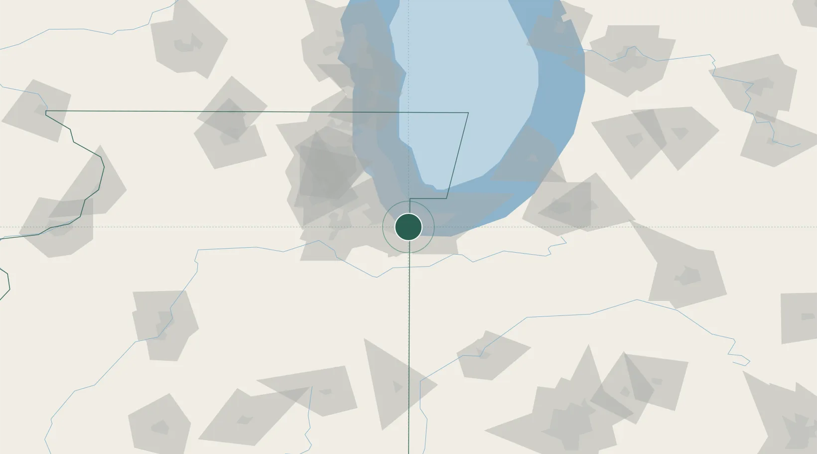
Place type
Populated place
Region
Illinois
Population
9,280
Time zone
America/Chicago
Elevation
188 m
Location
Nearby Logistics Neighbours
Cities
- 1Dyer5 km
- 2Glenwood5 km
- 3Thornton8 km
- 4South Chicago Heights9 km
- 5Saint John9 km
Ports
- 1Indiana Harbor19 km
- 2Gary20 km
- 3Calumet Harbor24 km
- 4Chicago41 km
- 5Michigan City58 km
Airports
Trade Zones
- 1FTZ No. 152 Burns Harbor33 km
- 2FTZ No. 022 Chicago45 km
- 3FTZ No. 292 Lake County94 km
- 4FTZ No. 125 South Bend100 km
- 5FTZ No. 176 Rockford161 km
DatabookThe Record of Consolidated Knowledge
United States beyond logistics?