UN/LOCODE hub · United States
USJHH
Saint John
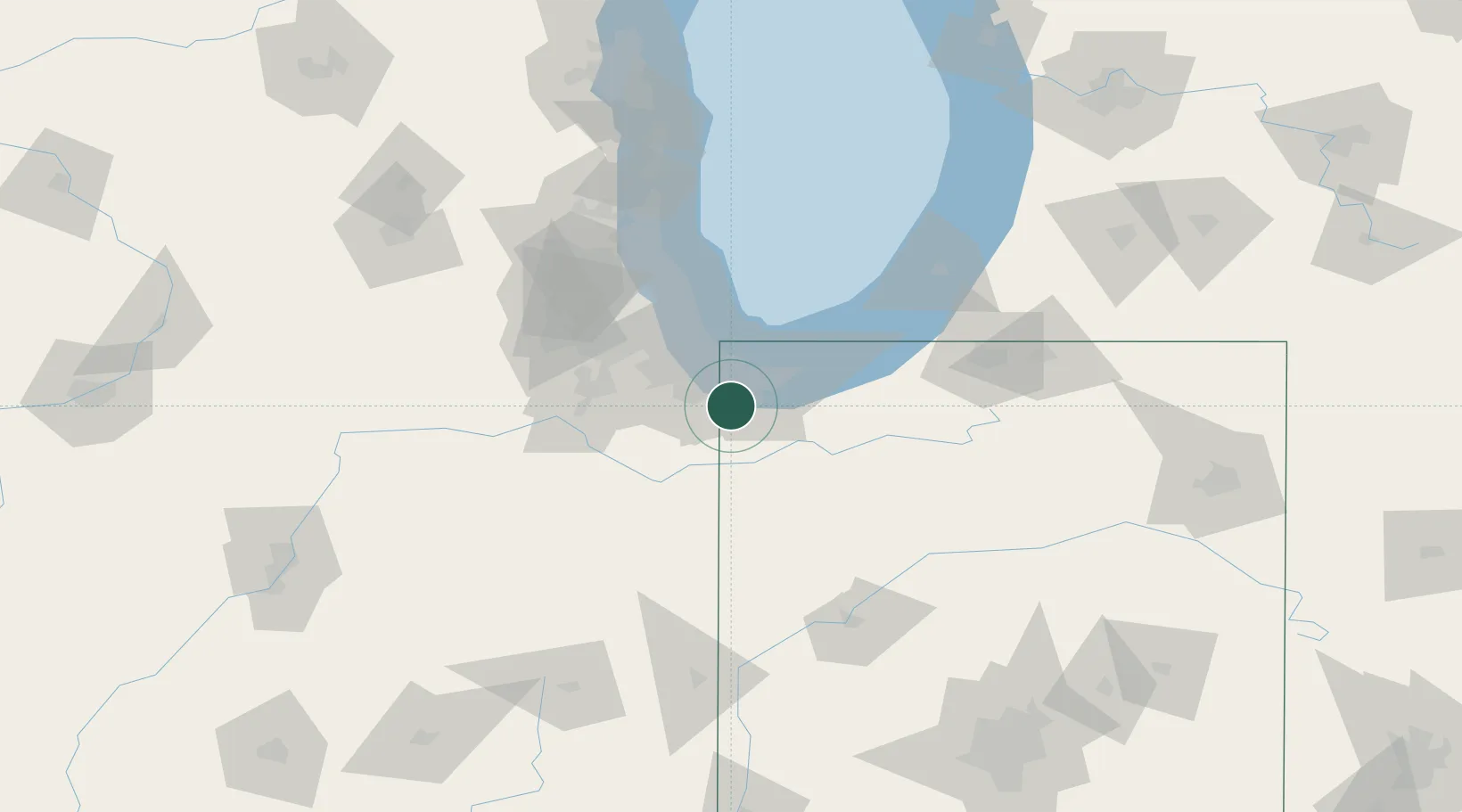
41.4500°, -87.4667°
14,850
Population
2
Transport functions
Transport Functions
Rail
Road
Hub Profile
Place type
Populated place
Region
Indiana
Population
14,850
Time zone
America/Chicago
Elevation
221 m
Location
Nearby Logistics Neighbours
Cities
- 1Dyer5 km
- 2Lynwood9 km
- 3Glenwood14 km
- 4Steger14 km
- 5South Chicago Heights14 km
Ports
- 1Gary22 km
- 2Indiana Harbor24 km
- 3Calumet Harbor32 km
- 4Chicago49 km
- 5Michigan City57 km
Airports
Trade Zones
- 1FTZ No. 152 Burns Harbor32 km
- 2FTZ No. 022 Chicago54 km
- 3FTZ No. 125 South Bend97 km
- 4FTZ No. 292 Lake County103 km
- 5FTZ No. 176 Rockford170 km
DatabookThe Record of Consolidated Knowledge
United States beyond logistics?