UN/LOCODE hub · United States
USTHQ
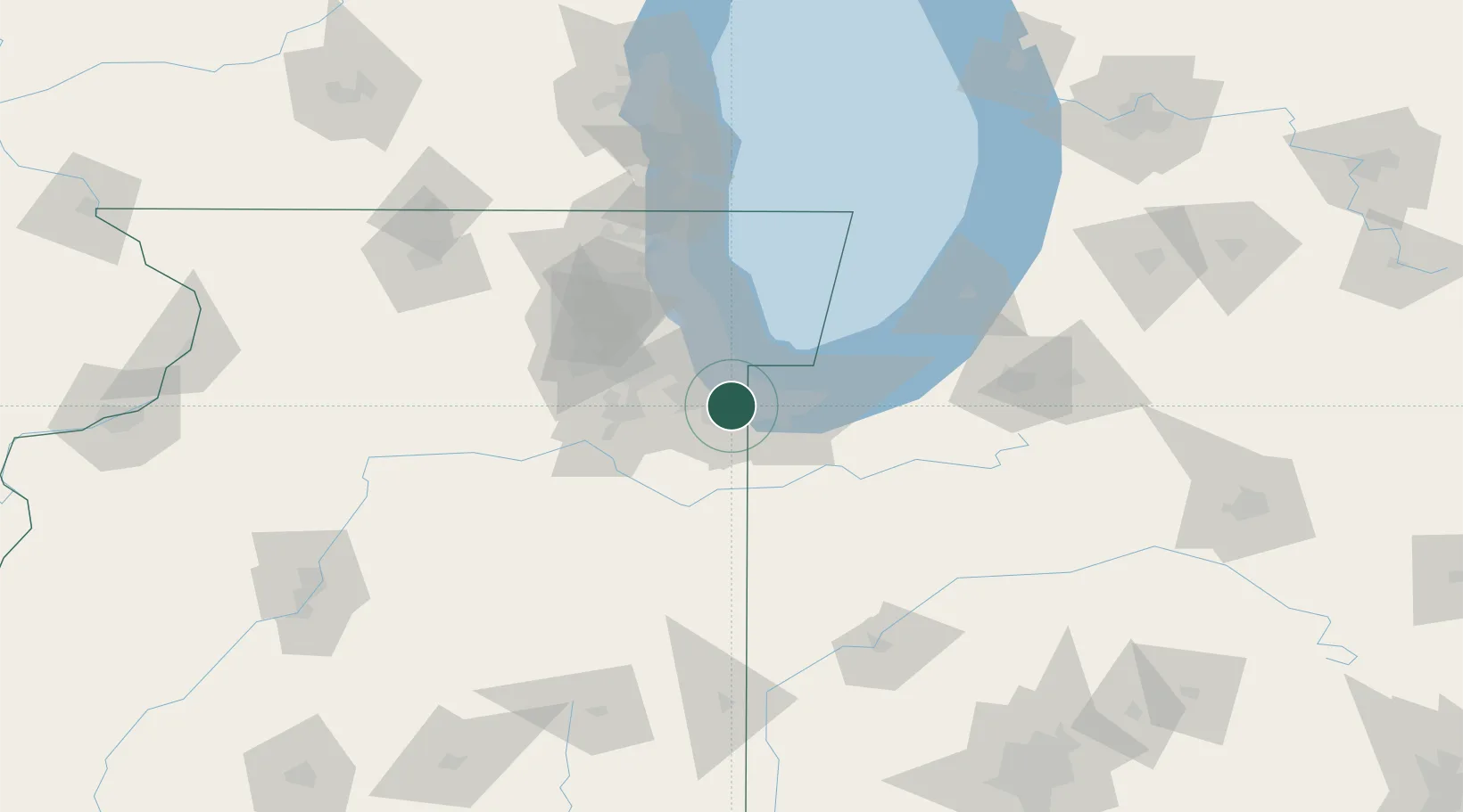
Thornton
41.5667°, -87.6000°
2,492
Population
2
Transport functions
Transport Functions
Rail
Road
Hub Profile
Place type
Populated place
Region
Illinois
Population
2,492
Time zone
America/Chicago
Elevation
182 m
Location
Nearby Logistics Neighbours
Cities
- 1Glenwood5 km
- 2Homewood5 km
- 3Phoenix5 km
- 4Hazel Crest7 km
- 5Lynwood8 km
Ports
- 1Indiana Harbor18 km
- 2Calumet Harbor20 km
- 3Gary23 km
- 4Chicago35 km
- 5Wilmette58 km
Airports
Trade Zones
- 1FTZ No. 152 Burns Harbor37 km
- 2FTZ No. 022 Chicago37 km
- 3FTZ No. 292 Lake County87 km
- 4FTZ No. 125 South Bend105 km
- 5FTZ No. 176 Rockford153 km
DatabookThe Record of Consolidated Knowledge
United States beyond logistics?