Transport Functions
Rail
Road
Hub Profile
Place type
Populated place
Region
Arkansas
Population
3,397
Time zone
America/Chicago
Elevation
376 m
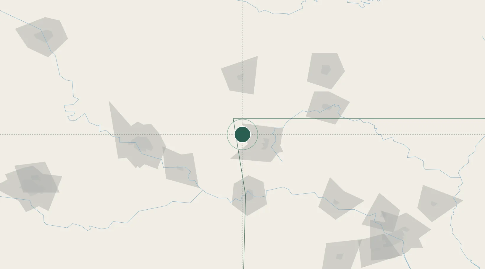
Location
Nearby Logistics Neighbours
Cities
- 1Gravette17 km
- 2Johnson32 km
- 3Westville32 km
- 4Lowell33 km
- 5Prairie Grove37 km
Ports
- 1Port Of Memphis412 km
- 2Lake Charles682 km
- 3Beaumont689 km
- 4Orange691 km
- 5Port Neches699 km
Airports
- 1Northwest Arkansas National Airport16 km
- 2Drake Field41 km
- 3Joplin Regional Airport98 km
- 4Fort Smith Regional Airport104 km
- 5Branson Airport119 km
Trade Zones
- 1FTZ No. 164 Muskogee105 km
- 2FTZ No. 053 Rogers County123 km
- 3FTZ No. 225 Springfield158 km
- 4FTZ No. 014 Little Rock270 km
- 5FTZ No. 106 Oklahoma City288 km
DatabookThe Record of Consolidated Knowledge
United States beyond logistics?