UN/LOCODE hub · United States
USGET
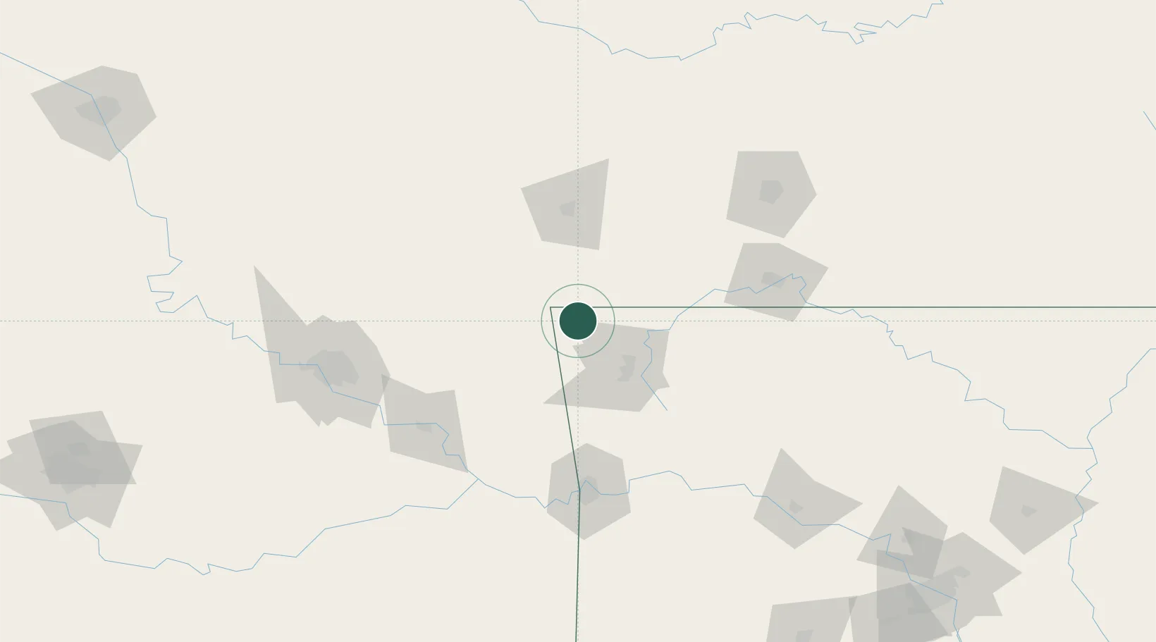
Gravette
36.4167°, -94.4500°
3,232
Population
2
Transport functions
Transport Functions
Rail
Road
Hub Profile
Place type
Populated place
Region
Arkansas
Population
3,232
Time zone
America/Chicago
Elevation
371 m
Location
Nearby Logistics Neighbours
Ports
- 1Port Of Memphis415 km
- 2Lake Charles698 km
- 3Beaumont705 km
- 4Orange707 km
- 5Port Neches715 km
Airports
- 1Northwest Arkansas National Airport20 km
- 2Drake Field52 km
- 3Joplin Regional Airport82 km
- 4Branson Airport113 km
- 5Boone County Airport117 km
Trade Zones
- 1FTZ No. 164 Muskogee117 km
- 2FTZ No. 053 Rogers County126 km
- 3FTZ No. 225 Springfield145 km
- 4FTZ No. 015 Kansas City272 km
- 5FTZ No. 014 Little Rock279 km
DatabookThe Record of Consolidated Knowledge
United States beyond logistics?