Transport Functions
Port
Rail
Road
Multimodal
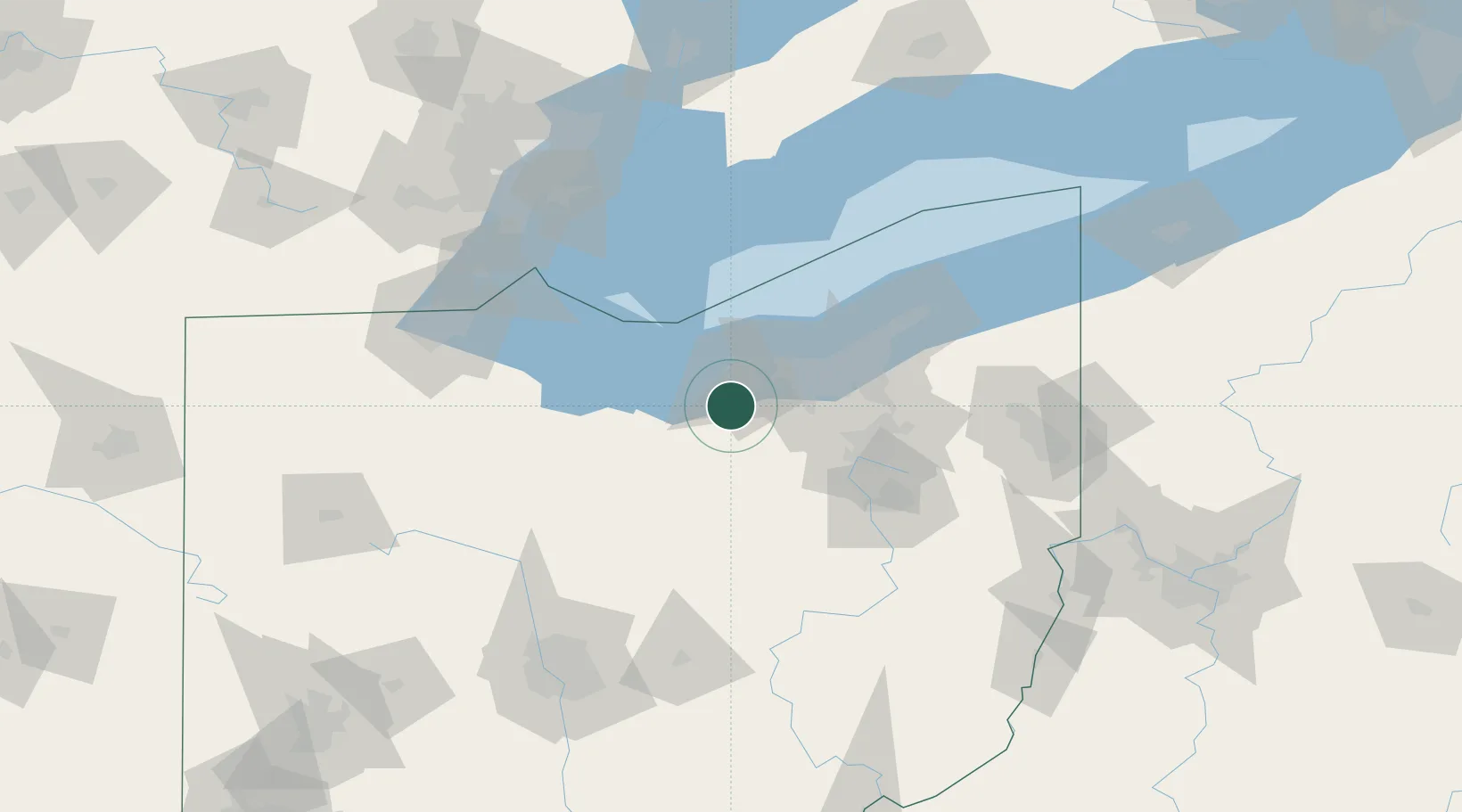
Hub Profile
Place type
Populated place
Region
Ohio
Population
8,350
Time zone
America/New_York
Elevation
248 m
Logistics facilities
1
Location
Nearby Logistics Neighbours
Cities
- 1Birmingham14 km
- 2Wakeman16 km
- 3Sheffield18 km
- 4Vermilion21 km
- 5New London27 km
Airports
Trade Zones
- 1FTZ No. 040 Cleveland38 km
- 2FTZ No. 181 Akron Canton52 km
- 3FTZ No. 008 Toledo119 km
- 4FTZ No. 151 Findlay129 km
- 5Windsor - Essex Foreign Trade Zone135 km
DatabookThe Record of Consolidated Knowledge
United States beyond logistics?