Transport Functions
Road
Multimodal
Hub Profile
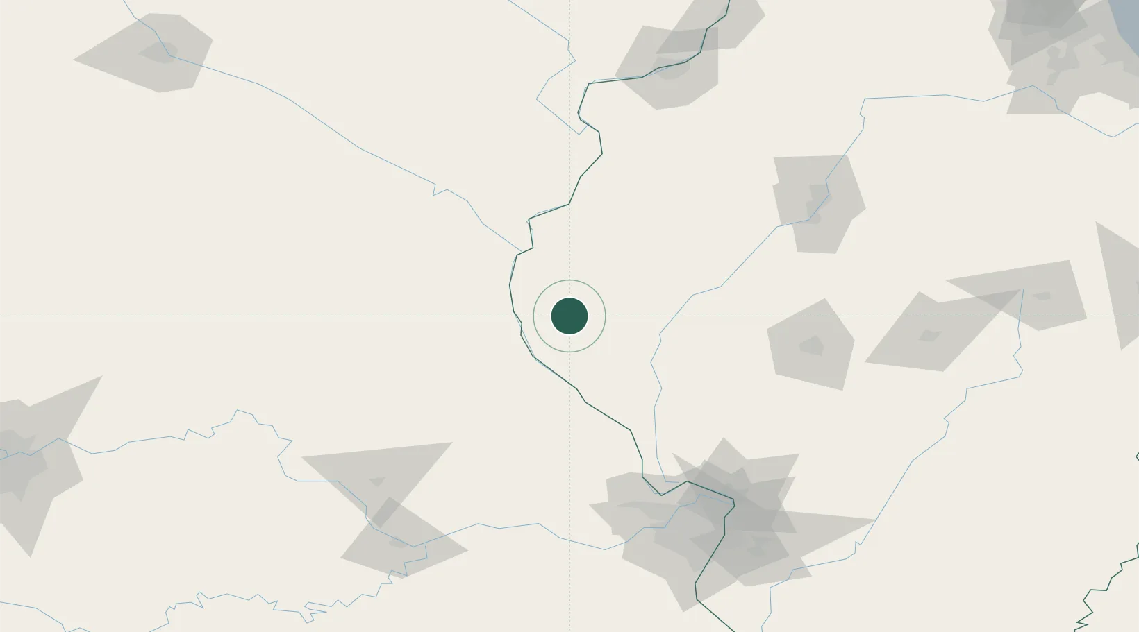
Place type
Populated place
Region
Illinois
Population
99
Time zone
America/Chicago
Elevation
220 m
Location
Nearby Logistics Neighbours
Cities
- 1Marblehead25 km
- 2Fargo26 km
- 3La Grange31 km
- 4Mount Sterling33 km
- 5Barry35 km
Ports
- 1Calumet Harbor362 km
- 2Indiana Harbor364 km
- 3Chicago365 km
- 4Gary369 km
- 5Wilmette373 km
Airports
Trade Zones
- 1FTZ No. 055 Burlington92 km
- 2FTZ No. 102 St. Louis County154 km
- 3FTZ No. 114 Peoria154 km
- 4FTZ No. 031 Granite City160 km
- 5FTZ No. 245 Decatur179 km
DatabookThe Record of Consolidated Knowledge
United States beyond logistics?