Transport Functions
Rail
Road
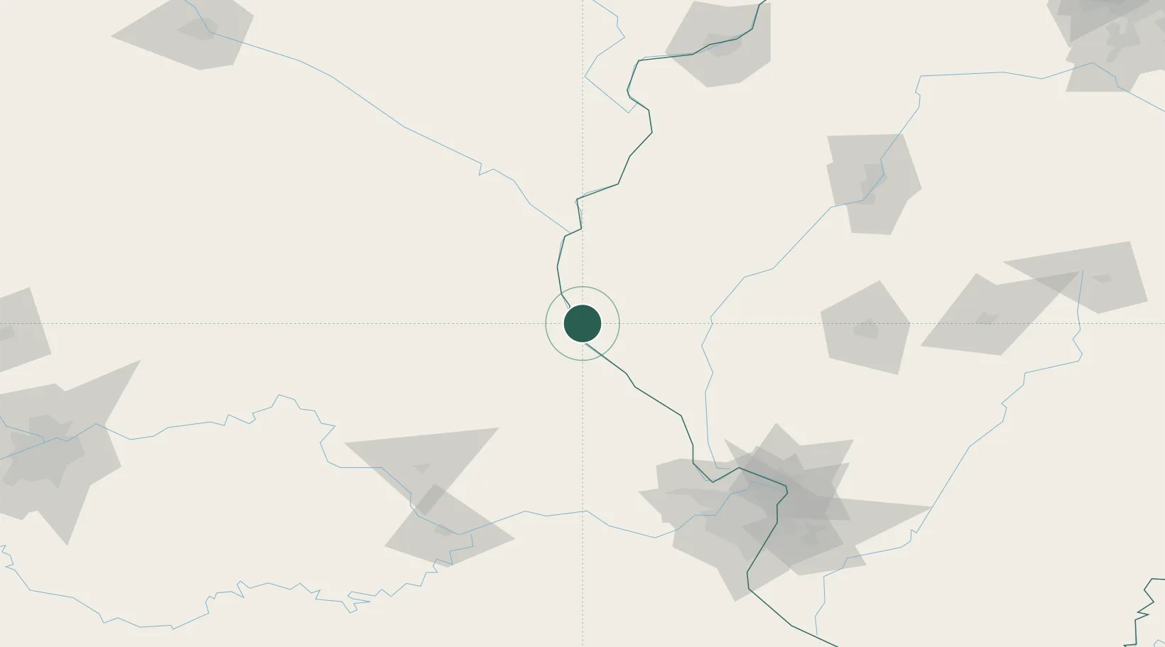
Hub Profile
Place type
Populated place
Region
Illinois
Time zone
America/Chicago
Elevation
150 m
Location
Nearby Logistics Neighbours
Cities
- 1Palmyra14 km
- 2Columbus25 km
- 3La Grange27 km
- 4New London28 km
- 5Barry33 km
Ports
- 1Calumet Harbor387 km
- 2Indiana Harbor389 km
- 3Chicago390 km
- 4Gary393 km
- 5Wilmette398 km
Airports
Trade Zones
- 1FTZ No. 055 Burlington111 km
- 2FTZ No. 102 St. Louis County144 km
- 3FTZ No. 031 Granite City158 km
- 4FTZ No. 114 Peoria179 km
- 5FTZ No. 245 Decatur197 km
DatabookThe Record of Consolidated Knowledge
United States beyond logistics?