Transport Functions
Rail
Road
Multimodal
Hub Profile
Place type
Provincial seat
Region
Indiana
Population
2,038
Time zone
America/Indiana/Indianapolis
Elevation
300 m
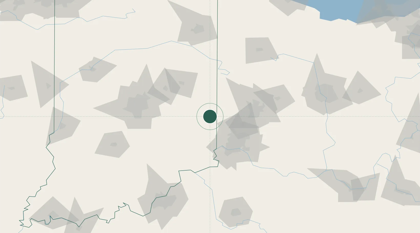
Location
Nearby Logistics Neighbours
Cities
- 1West College Corner12 km
- 2Centerville19 km
- 3Brooksville25 km
- 4Somerville27 km
- 5Greens Fork29 km
Ports
- 1Toledo261 km
- 2Port Clinton269 km
- 3Sandusky276 km
- 4Huron281 km
- 5Monroe284 km
Airports
Trade Zones
- 1FTZ No. 100 Dayton58 km
- 2FTZ No. 046 CIncinnati69 km
- 3FTZ No. 047 Boone County75 km
- 4FTZ No. 054 Clinton County101 km
- 5FTZ No. 072 Indianapolis119 km
DatabookThe Record of Consolidated Knowledge
United States beyond logistics?